Mapbox Blog
Stay informed with insightful content on how Mapbox solutions are revolutionizing industries.
Maps
Featured Blog
Introducing Mapbox Atlas v3: Self-hosted maps without the infrastructure burden
Discover Mapbox Atlas v3, a rearchitected solution for deploying self-hosted maps, search, and navigation in secure, air-gapped, or offline environments—without heavy infrastructure overhead.
Thank you! Your submission has been received!
Oops! Something went wrong while submitting the form.
.png)
Maps
What is location intelligence?
What is location intelligence?
Maps
Location Intelligence

Maps
New scaling and styling capabilities support clear, responsive, and expressive map design
New scaling and styling capabilities support clear, responsive, and expressive map design
Maps
Map Design
Mapbox Studio

Search
Mapbox Geocoding adds 45 new countries and 73.2 million addresses
Mapbox Geocoding adds 45 new countries and 73.2 million addresses
Search
Geocoding
Logistics
Search

Company
Mapbox Global Volunteer Month 2026: Giving back across communities worldwide
Mapbox Global Volunteer Month 2026: Giving back across communities worldwide
Company
Community
Data
Mission-ready mapping: Securely bring together maps, AI, and response
Mission-ready mapping: Securely bring together maps, AI, and response
Data
No items found.
Maps
Evaluating cloud architectures for custom geospatial data hosting
Evaluating cloud architectures for custom geospatial data hosting
Maps
MTS
.jpg)
Company
Women leaders at Mapbox: Shaping teams and growth
Women leaders at Mapbox: Shaping teams and growth
Company
Company
Data
Boundaries 4.6: Expanded global coverage with major updates across the Americas
Boundaries 4.6: Expanded global coverage with major updates across the Americas
Data
Boundaries
Data
Search
Search
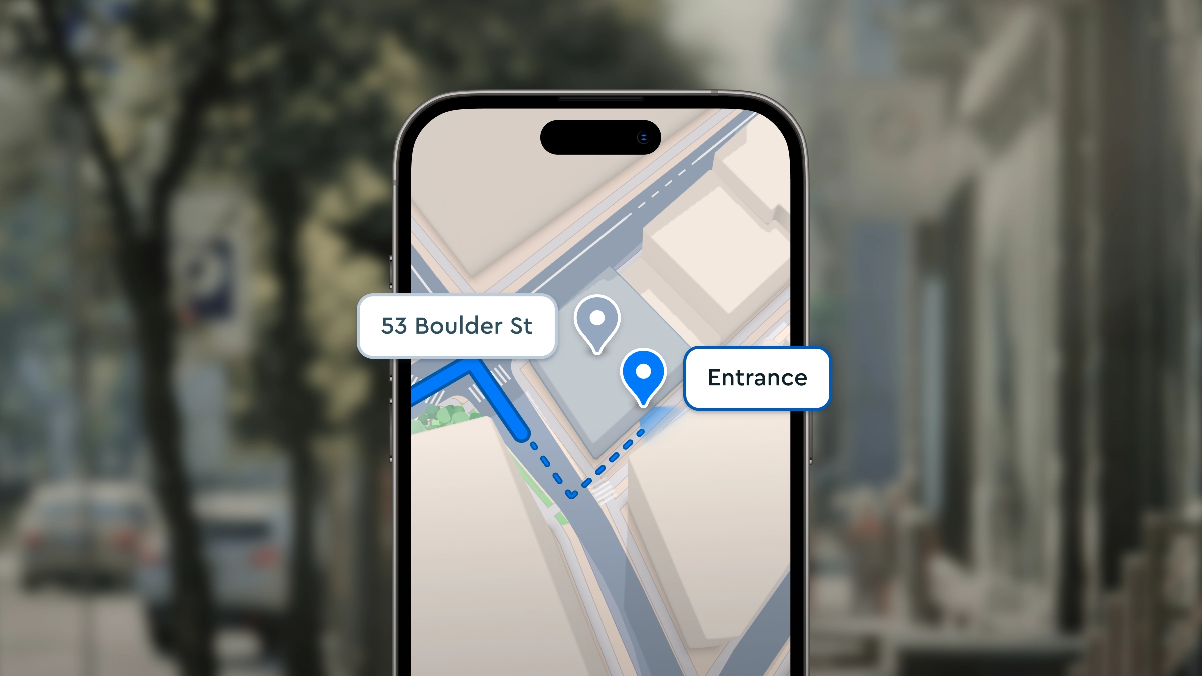
Get drivers to the right entrance with Mapbox Geocoding
Get drivers to the right entrance with Mapbox Geocoding
Search
Geocoding
Logistics
Search
Maps
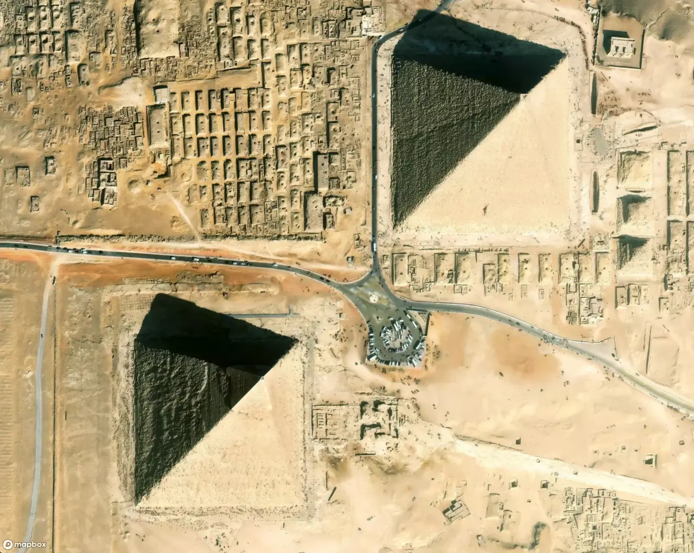
Mapbox adds 10 million sq km of new 30 cm satellite imagery
Mapbox adds 10 million sq km of new 30 cm satellite imagery
Maps
Maps
Navigation
Never miss a turn again with Mapbox 3D Lanes
Never miss a turn again with Mapbox 3D Lanes
Navigation
Navigation
3D
Automotive
Company
Mapbox 2025: A year of growth, community, and new ideas
Mapbox 2025: A year of growth, community, and new ideas
Company
Community
.png)
Company
Real-world insights from BUILD with Mapbox 2025
Real-world insights from BUILD with Mapbox 2025
Company
Community
Maps
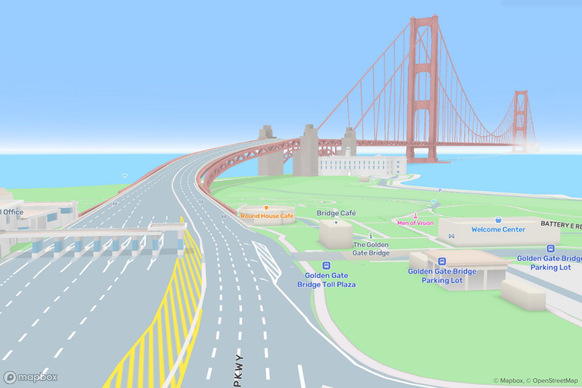
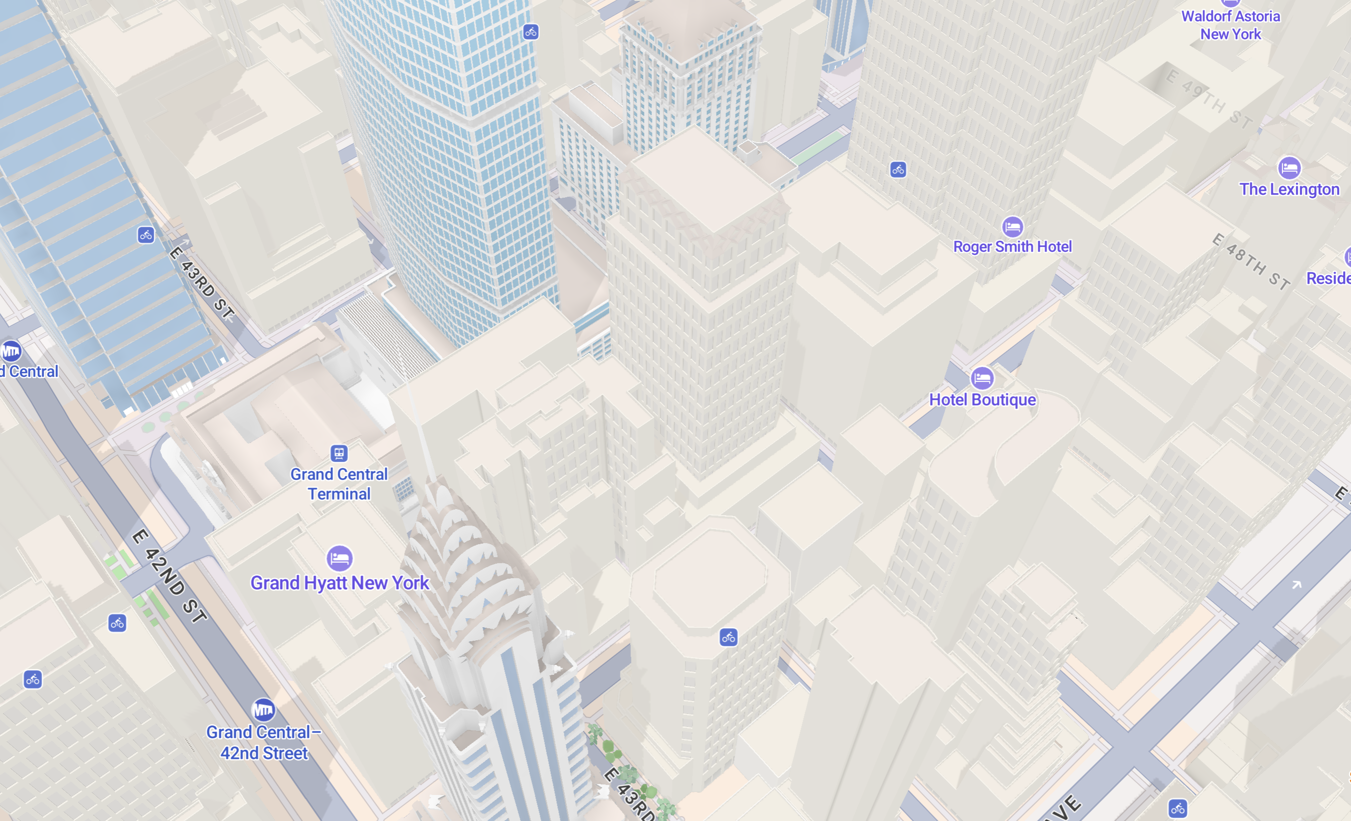
Detailed architecture and new design flexibility enhance the latest release of Mapbox Standard
Detailed architecture and new design flexibility enhance the latest release of Mapbox Standard
Maps
Map Design
Maps
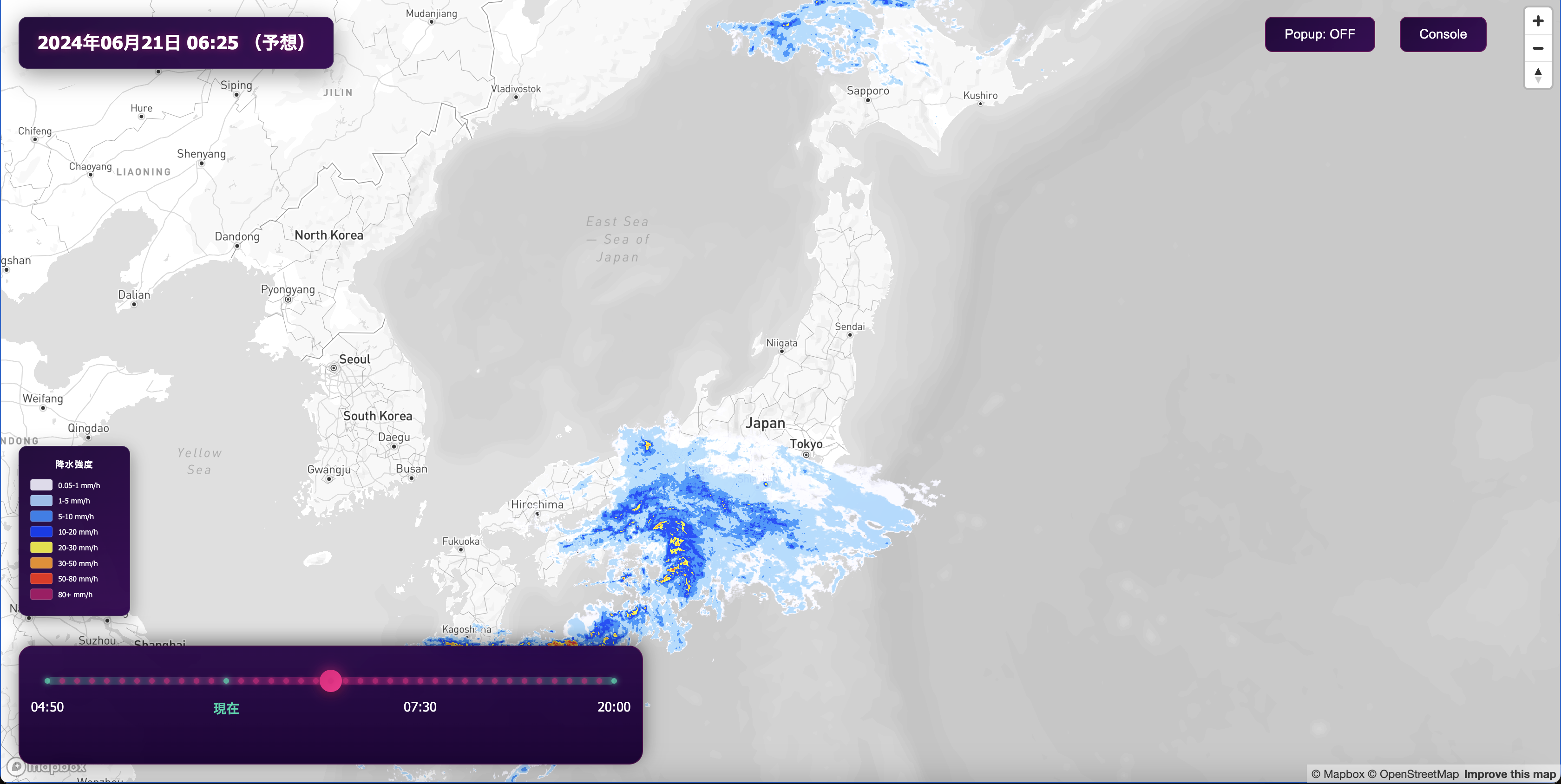
Mapbox Japan Weather Layers を使った雨雲レーダーのデモ
Mapbox Japan Weather Layers を使った雨雲レーダーのデモ
Maps
No items found.
Maps
Rain cloud radar demo using Mapbox Japan weather layers
Rain cloud radar demo using Mapbox Japan weather layers
Maps
No items found.
Maps
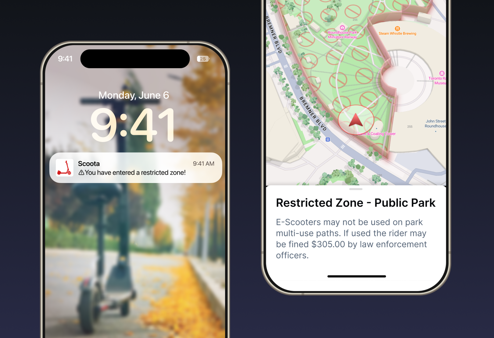
Mapbox Geofencing drives operational efficiency and revenue growth
Mapbox Geofencing drives operational efficiency and revenue growth
Maps
Map Design

Location AI
GeoAI in 2026: Four predictions on agents, MCP, and live data
GeoAI in 2026: Four predictions on agents, MCP, and live data
Location AI
Location Intelligence
Maps
Mapping for good at BUILD with Mapbox 2025
Mapping for good at BUILD with Mapbox 2025
Maps
Built With Mapbox

Maps
Inspiring map projects from BUILD with Mapbox 2025
Inspiring map projects from BUILD with Mapbox 2025
Maps
Built With Mapbox

Maps
670k sq km of updated aerial imagery for the US and Europe
670k sq km of updated aerial imagery for the US and Europe
Maps
Imagery
Satellite Imagery
Location AI
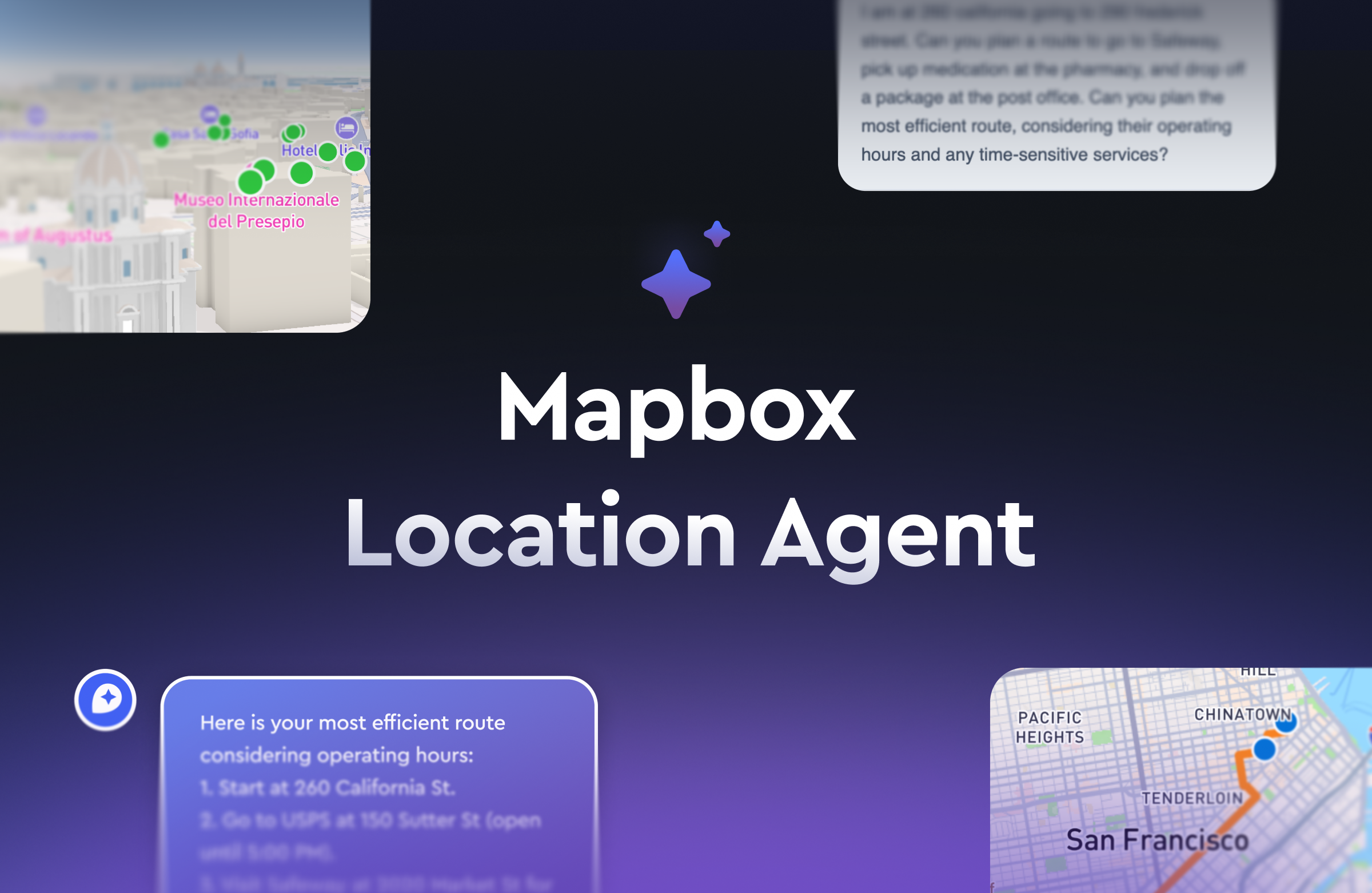
Maps turn conversational
Maps turn conversational
Location AI
Location AI
Maps
Dynamic symbol styling: New ways to configure icon state
Dynamic symbol styling: New ways to configure icon state
Maps
Map Design
Location AI
How the Mapbox DevKit MCP Server enhances AI coding workflows
How the Mapbox DevKit MCP Server enhances AI coding workflows
Location AI
Location AI
There are no items matching the current filters.
Ready to get started?
Create an account or talk to one of our experts.