Releases
Test new beta offerings and discover the latest release announcements.
Click a form below to request beta access.
Looking for technical release notes? Check out Mapbox Documentation.

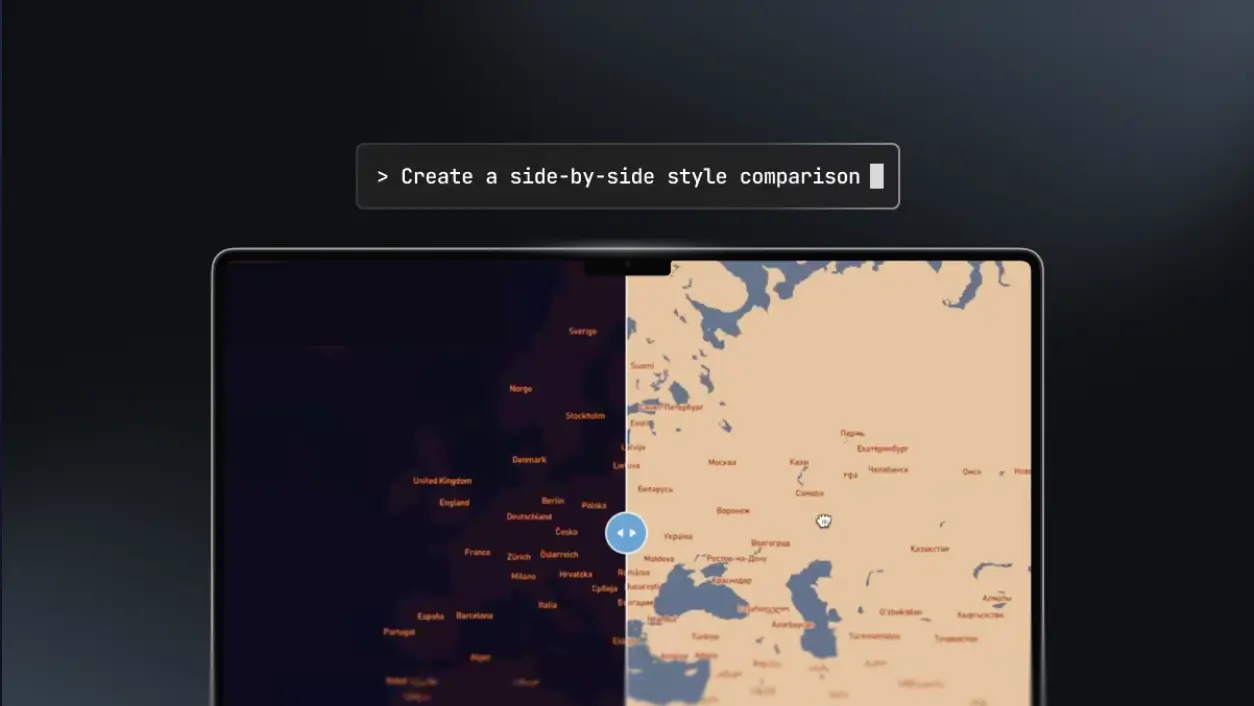
Mapbox MCP Server
The Mapbox MCP Server equips AI agents with spatial reasoning using a unified interface for maps, geocoding, routing, and POIs. Available as both a hosted service and a self-hosted version.
Mapbox DevKit MCP Server
Equip AI coding tools with geospatial skills for Mapbox development. Supercharge Mapbox workflows with a natural language execution layer for tokens, styles, data formatting, and more.

Mapbox Location Agent
Experience what’s possible when maps become conversational. Built with the MCP Server, the demo Location Agent combines large-language-model reasoning with the precision of Mapbox APIs to deliver intelligent, context-aware answers to geospatial questions.
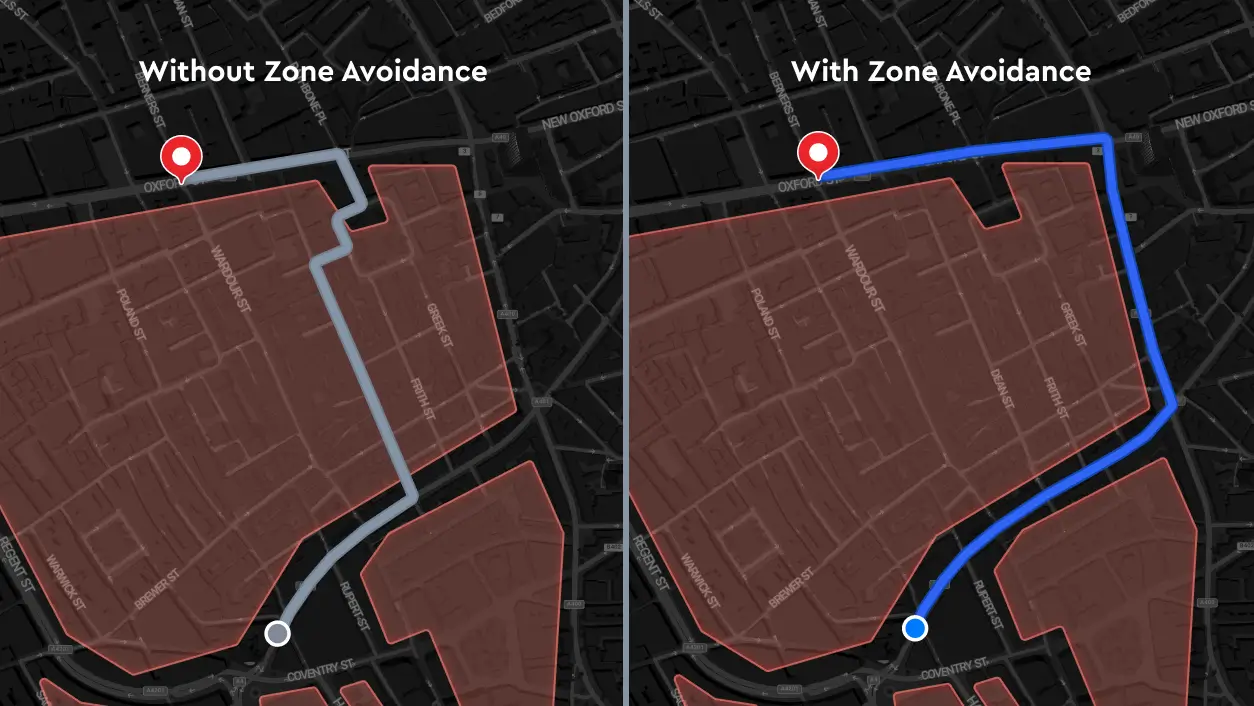
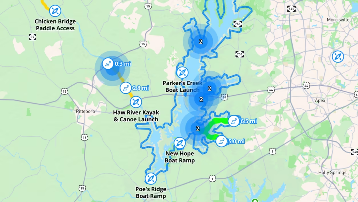
Custom Zone Avoidance
Solve compliance and safety needs with Custom Zone Avoidance by routing vehicles around no-go zones defined with custom data. Ideal for fleets like delivery vehicles avoiding areas at certain hours, heavy vehicles restricted from certain roads, or e-bikes staying within approved zones.

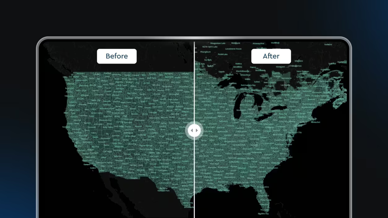
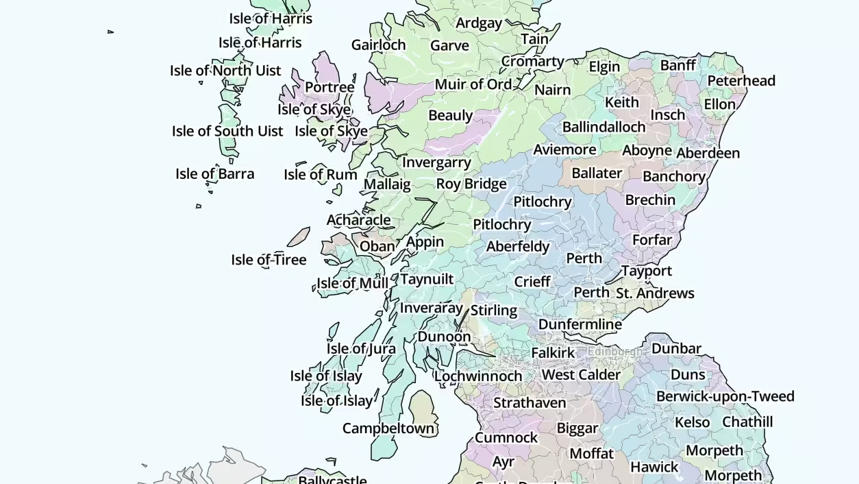
Boundaries Flat File Sample Data
Mapbox Boundaries provides high-precision administrative, postal, and custom boundaries in flat file format — ready to integrate with BI dashboards, ML pipelines, and geospatial analytics workflows.
Global Scale Factor
Set the linear scaling of icons and text across an entire style. Build this during the design phase in Mapbox Studio or dynamically at runtime via the web and mobile SDKs.

Custom Zone Avoidance
Manage custom zone data for precise routing and visualization.

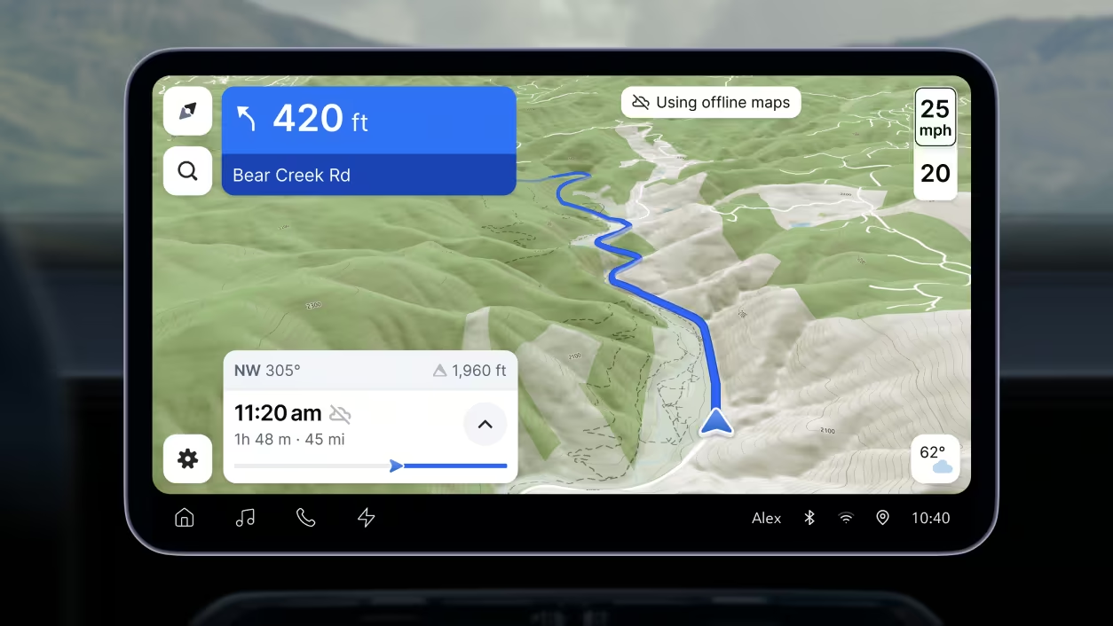
3D Weather Animations
Animate 3D weather effects for rain and snow to improve trip planning and safety.

Mapbox Geofencing
Define areas to monitor and trigger custom actions or alerts on mobile.

Incremental Updates for Mapbox Tiling Service
Re-process only specific data changes instead of an entire tileset.

Mapbox Feedback Agent
Enable real-time, voice-based feedback from end users.
Explore past release announcements.
Looking for technical release notes? Check out Mapbox Documentation.
- May 22, 2025
Spring Release 2025
- December 5, 2024
Winter Release 2024

Enhancements to Mapbox Standard, Mapbox Search, custom raster data tilesets, and data clustering in the Mapbox Tiling Service.
Learn more


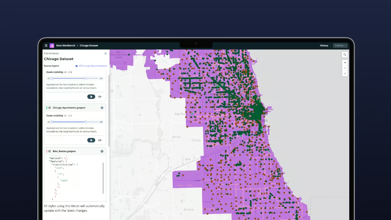
Data Workbench
A tool that simplifies how you upload, edit, and publish custom data. Drag and drop your files with limited or no preliminary data cleaning, edit your data directly in the workbench without exporting it, get intuitive MTS recipe recommendations and preview your data before you tile it.
Boundaries 4.6 update
Mapbox Boundaries 4.6 adds over 75,000 new and over 88,000 updated boundaries across the Americas, Europe, and Asia-Pacific, with expansion of postal, locality, and statistical layers.

Geocoding entrances data
This release addresses the ‘final meters’ problem by adding building entrance data to the Mapbox Geocoding API, now available in public preview for addresses across the United States.

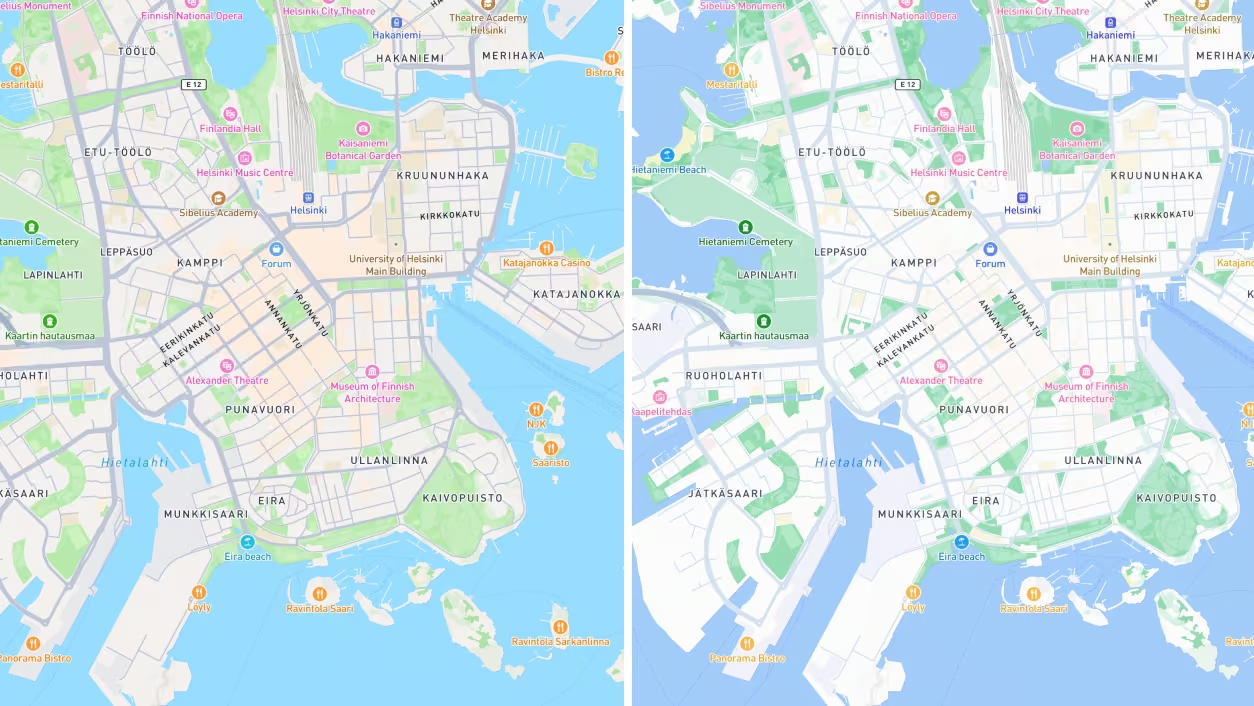
Mapbox Standard v5
In the latest release of Mapbox Standard, cities now rise from the ground with breathtaking architectural detail. New color configurations also make every major map feature customizable.

Geofencing API
The Mapbox Geofencing API makes it simpler to configure and manage geofenced areas and monitor when a device enters, exits, or remains within defined boundaries.

Icon appearances
New ‘icon appearance’ style definitions in the Mapbox SDKs can trigger icons to change color, size, rotation, or position in a consistent, intuitive way, without juggling platform-specific code or a myriad of graphic files.
Offline tilepack size reduction
The second version of Mapbox offline map tile packs now takes up to 40% less space. Improved tile pack size efficiency means that offline maps require less space on embedded hardware and mobile devices, without sacrificing coverage or detail.
MTS Incremental Updates
The Mapbox Tiling Service (MTS) supports incremental data updates — a new feature that makes it significantly faster and easier to keep maps current.

Voice Feedback Agent
The new Feedback Agent in the Mapbox Navigation SDK makes it easy for users to share detailed feedback with app developers using only their voice. Feedback Agent opens the door for higher-quality and more frequent reports.
Mapbox Standard Summer Release v4
This release of Mapbox Standard introduces new features for 3D map design — making it the most flexible and customizable 3D basemap available. Enhancements include more map feature color configurations, stylized landmark icons, and comprehensive data upgrades that elevate both form and function.
Landmark Icons
With the latest release of Mapbox Standard, the basemap now includes a set of beautiful, stylized landmark POI icons that complement the custom designed 3D landmark models.

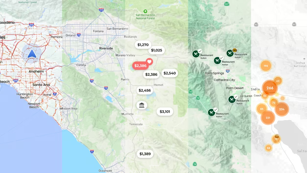
POI Unification
The Mapbox Search Box API is getting even smarter with broader global coverage, enhanced localization, and new features for faster, more relevant results. Search Box provides a production-ready toolkit for developers to add and optimize how users find addresses and points-of-interest (POI) within applications.

Interactive Map Features
Mapbox has released a faster and easier way to build custom, interactive, engaging maps. The new system significantly lowers the code required to set up interactions with POIs, labels and buildings, reducing development effort, and making the codebase more readable and less prone to bugs.
Boundaries 4.5
Mapbox has expanded its Boundaries dataset across Europe with over 107,000 new and 56,000 updated boundaries, improving coverage and accuracy across 44 countries.
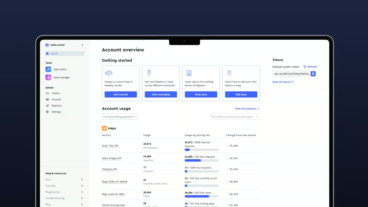
Dev Console
The new logged-in experience represents a leap forward in usability, performance, and flexibility, addressing feedback from the Mapbox community and supporting the growing suite of Mapbox tools.
Mapbox Standard V3 Improvements
The latest update introduces further customizability, addressing the most prominent feedback heard from customers. It also introduces HD roads, and an efficient method for configuring basemap interactions.