

Customer Showcase
Heading
Mapbox equips teams of all sizes to innovate with location technologies
Lorem ipsum dolor sit amet, consectetur adipiscing elit, sed do eiusmod tempor incididunt ut labore et dolore magna aliqua.
Lorem ipsum dolor sit amet, consectetur adipiscing elit, sed do eiusmod tempor incididunt ut labore et dolore magna aliqua.
Thank you! Your submission has been received!
Oops! Something went wrong while submitting the form.
.png)
Optimized routing with Mapbox boosts efficiency of utility field engineers by 88%
Read Showcase
→
Kraken Technologies
.png)
Optimized routing with Mapbox boosts efficiency of utility field engineers by 88%
Heading

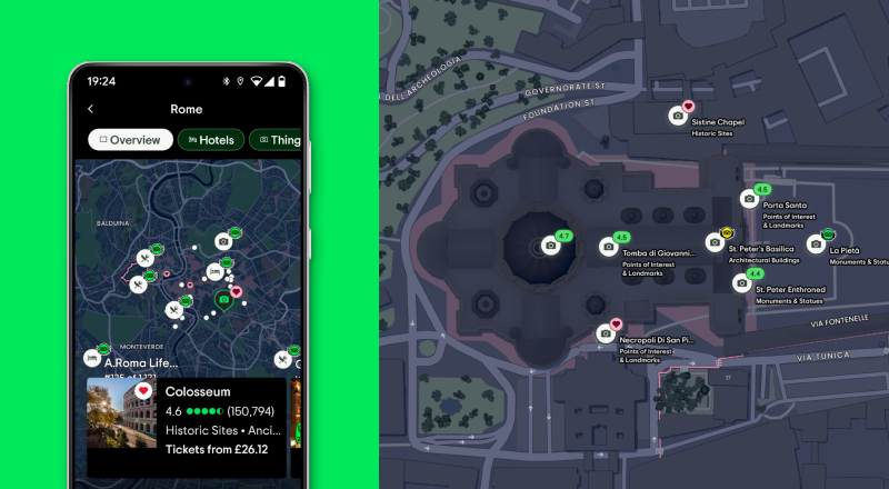
The best map for travelers increases user engagement by 70% and bookings by 3.5%
Read Showcase
→
Tripadvisor

The best map for travelers increases user engagement by 70% and bookings by 3.5%
Heading

Interactive and branded Mapbox maps increase vacation package bookings by 27%
Read Showcase
→
Getaways by Southwest

Interactive and branded Mapbox maps increase vacation package bookings by 27%
Heading

Mapbox supports innovative BMW and MINI in-car navigation experience
Read Showcase
→
BMW

Mapbox supports innovative BMW and MINI in-car navigation experience
Heading

On-time delivery improves by 3% with Mapbox, with a 20-minute delivery window
Read Showcase
→
Picnic

On-time delivery improves by 3% with Mapbox, with a 20-minute delivery window
Heading
.jpg)
221% increase in daily active users with the Mapbox Mobile Maps SDKs
Read Showcase
→
Omnia Fishing
.jpg)
221% increase in daily active users with the Mapbox Mobile Maps SDKs
Heading

Engaging event maps drive 350% more customer interactions
Read Showcase
→
Amplify

Engaging event maps drive 350% more customer interactions
Heading

Enhanced delivery efficiency and in-app navigation with Mapbox
Read Showcase
→
Urbify

Enhanced delivery efficiency and in-app navigation with Mapbox
Heading

The Mapbox Matrix API and real-time traffic data enhance accurate delivery times
Read Showcase
→
Wolt

The Mapbox Matrix API and real-time traffic data enhance accurate delivery times
Heading

Fast, smooth maps with Mapbox GL JS upgrade the reality capture experience
Read Showcase
→
DroneDeploy

Fast, smooth maps with Mapbox GL JS upgrade the reality capture experience
Heading
.jpg)
50% lower operational costs and 30% higher engagement with Mapbox
Read Showcase
→
ParkBee
.jpg)
50% lower operational costs and 30% higher engagement with Mapbox
Heading
.png)
Mapbox Maps enable beautiful, responsive travel maps for 15M travelers
Read Showcase
→
Polarsteps
.png)
Mapbox Maps enable beautiful, responsive travel maps for 15M travelers
Heading

The future of next-generation navigation, powered by Mapbox
Read Showcase
→
Toyota

The future of next-generation navigation, powered by Mapbox
Heading

Mapbox maps and tilesets power visualizations for breaking news
Read Showcase
→
CNN

Mapbox maps and tilesets power visualizations for breaking news
Heading

Mapbox Navigation for motorcyclists fuels 580% growth in user base
Read Showcase
→
REVER

Mapbox Navigation for motorcyclists fuels 580% growth in user base
Heading

Enhancing real estate tech with Mapbox navigation, search, and 3D maps
Read Showcase
→
Cecilian Partners

Enhancing real estate tech with Mapbox navigation, search, and 3D maps
Heading

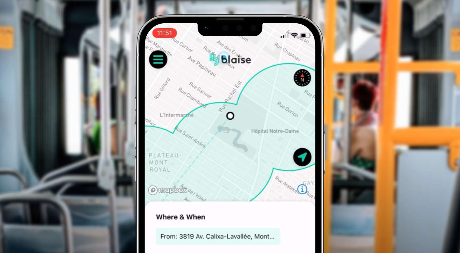
Mapbox reverse geocoding supports a 183% ridership increase for on-demand mobility services
Read Showcase
→
Blaise Transit

Mapbox reverse geocoding supports a 183% ridership increase for on-demand mobility services
Heading

Real-time and forecasted weather visualizations with Mapbox Geocoding and Maps
Read Showcase
→
The Weather Company

Real-time and forecasted weather visualizations with Mapbox Geocoding and Maps
Heading

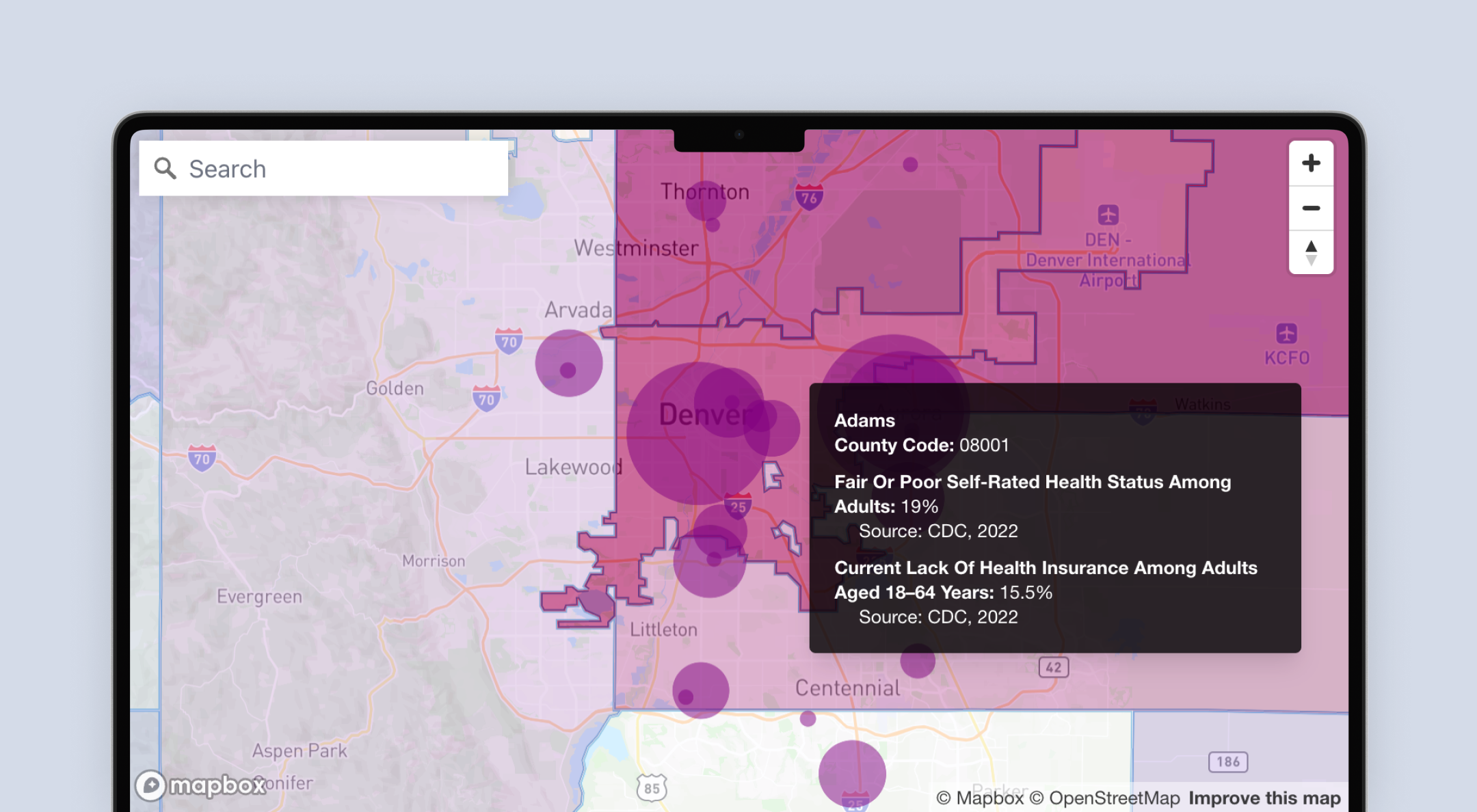
50% faster load times and 58% higher engagement with Mapbox Boundaries
Read Showcase
→
DataKind

50% faster load times and 58% higher engagement with Mapbox Boundaries
Heading

Enhancing micromobility with the Mapbox Mobile Maps SDK, Navigation, and Search
Read Showcase
→
Voi

Enhancing micromobility with the Mapbox Mobile Maps SDK, Navigation, and Search
Heading

Engineering 300% more serendipity with Mapbox Mobile Maps SDKs
Read Showcase
→
Radiate

Engineering 300% more serendipity with Mapbox Mobile Maps SDKs
Heading

Enhanced gaming experience with Mapbox Maps
Read Showcase
→
KOEI TECMO GAMES

Enhanced gaming experience with Mapbox Maps
Heading

Mapbox optimizes delivery for the world's largest grocery service
Read Showcase
→
Instacart

Mapbox optimizes delivery for the world's largest grocery service
Heading

Hyper-local trip planning and routing support with the Mapbox Navigation SDK
Read Showcase
→
ANWB

Hyper-local trip planning and routing support with the Mapbox Navigation SDK
Heading
There are no items matching the current filters.
Lorem ipsum dolor sit amet, consectetur adipiscing elit, sed do eiusmod tempor incididunt ut labore et dolore magna aliqua.
Lorem ipsum dolor sit amet, consectetur adipiscing elit, sed do eiusmod tempor incididunt ut labore et dolore magna aliqua.
Ready to get started?
Heading
Create an account or talk to one of our experts.
Lorem ipsum dolor sit amet, consectetur adipiscing elit, sed do eiusmod tempor incididunt ut labore et dolore magna aliqua.
Lorem ipsum dolor sit amet, consectetur adipiscing elit, sed do eiusmod tempor incididunt ut labore et dolore magna aliqua.