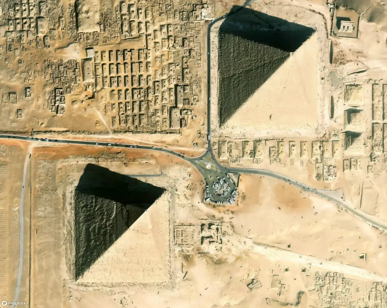
Now 370 Global Cities with 3D Landmarks in Mapbox Standard
Heading
Lorem ipsum dolor sit amet, consectetur adipiscing elit, sed do eiusmod tempor incididunt ut labore et dolore magna aliqua.
The Mapbox Standard style offers an immersive urban experience with detailed 3D landmarks, airports and train stations for 370 cities, with more being added each month.


The Mapbox Standard style improves location context and enhances the way users navigate and explore cities. One way we accomplish this is with a stunning collection of 3D landmarks, which makes it easier to orient and align the real world with the map world. The style currently has over 10,000 custom-designed models in 370 cities.
We recently completed coverage for all cities in North America, Europe and Australia with a population over 300,000. We added landmarks for many US state capitals and smaller European tourist cities, as well as 4 cities in Mexico, plus Taipei, Bangkok, Jakarta, and Kuala Lumpur. We added 39 custom designed airports (now 75 in total), and 150 custom designed European train stations.
With that in mind, we wanted to give more insight into our process of selecting and designing landmarks as well as how we choose cities and plan their coverage.


Choosing Which Landmarks to Include
Our 3D models include the most renowned tourist landmarks, as well as essential spaces like stations, stadiums, conference halls, and prominent logos. Additionally, we consider the most important or tallest buildings that shape a city's skyline, while maintaining a delicate balance between density and visual appeal.

Our goal is to create urban landscapes that are visually stunning and also practical for navigation purposes on z14-16. To achieve this, we meticulously distribute 3D landmarks throughout the metropolitan area, taking into account the historical and urban plan characteristics of each city.
Typically we adopt either a monocentric or polycentric approach. The former is suitable for cities with a dense historical center and a few more scattered landmarks elsewhere. The latter concentrates landmarks in various clusters such as downtown, commercial areas and entertainment districts. Certain cities require unique approaches. For example, Las Vegas presents a distinct challenge with its long central hotel strip.
Airport and Train Station Models
Airports and train stations are critical landmarks for transportation and travel. They often have complex road networks and include parking areas, transit transfer stations, and multiple terminals that are difficult to navigate between. Many Mapbox customers will appreciate the additional context provided by these realistic 3D models which makes it easier to find your way to and around these travel hubs. We ultimately see these models helping rideshare drivers better find pickup locations, helping travelers more easily find their departure area, or adding additional context to travel booking and planning apps - amongst many other uses.

3D Landmark Characteristics
Our approach to designing these 3D landmarks is based on symbolic realism. The models are distinctly recognizable without being so realistically designed that they distract from icons, labels and custom location data.
Each artist-created custom model contains roofs, windows, walls, entrances and even helipads on roofs. Static logos are added to appropriate venues, stadiums, and headquarters.

Entrances are highlighted and easy to recognize even from a distant zoom, facilitating efficient arrival experiences.

We strive to capture details of a building’s design and key architectural features to guarantee the recognizability of a landmark from a distance. In addition to the building outline itself, we design external elements like sculptures. We also pay attention to distinctive patterns on the surface.
Finally, to enhance the realism of the map, our 3D landmarks accurately respond to four curated lighting presets - Day, Night, Dusk, and Dawn. Shifting shadows and entrance lights further immerse users in the map experience, bringing it closer to reality.
Get Started with Mapbox Standard
You can explore all existing 3D landmarks and city coverage across the globe in our Mapbox Standard demo.
Mapbox Standard is currently available in the latest versions of our Maps SDKs. You can find directions on how to migrate to these latest versions in our GL JS v3 migration guide for web maps, and our Mobile Maps SDKs v11 migrations guides for iOS and Android.
If you’d like to get started using Mapbox, sign up for a Mapbox account, then visit the above mentioned migration guides for information about our latest versions.
Lorem ipsum dolor sit amet, consectetur adipiscing elit, sed do eiusmod tempor incididunt ut labore et dolore magna aliqua.


