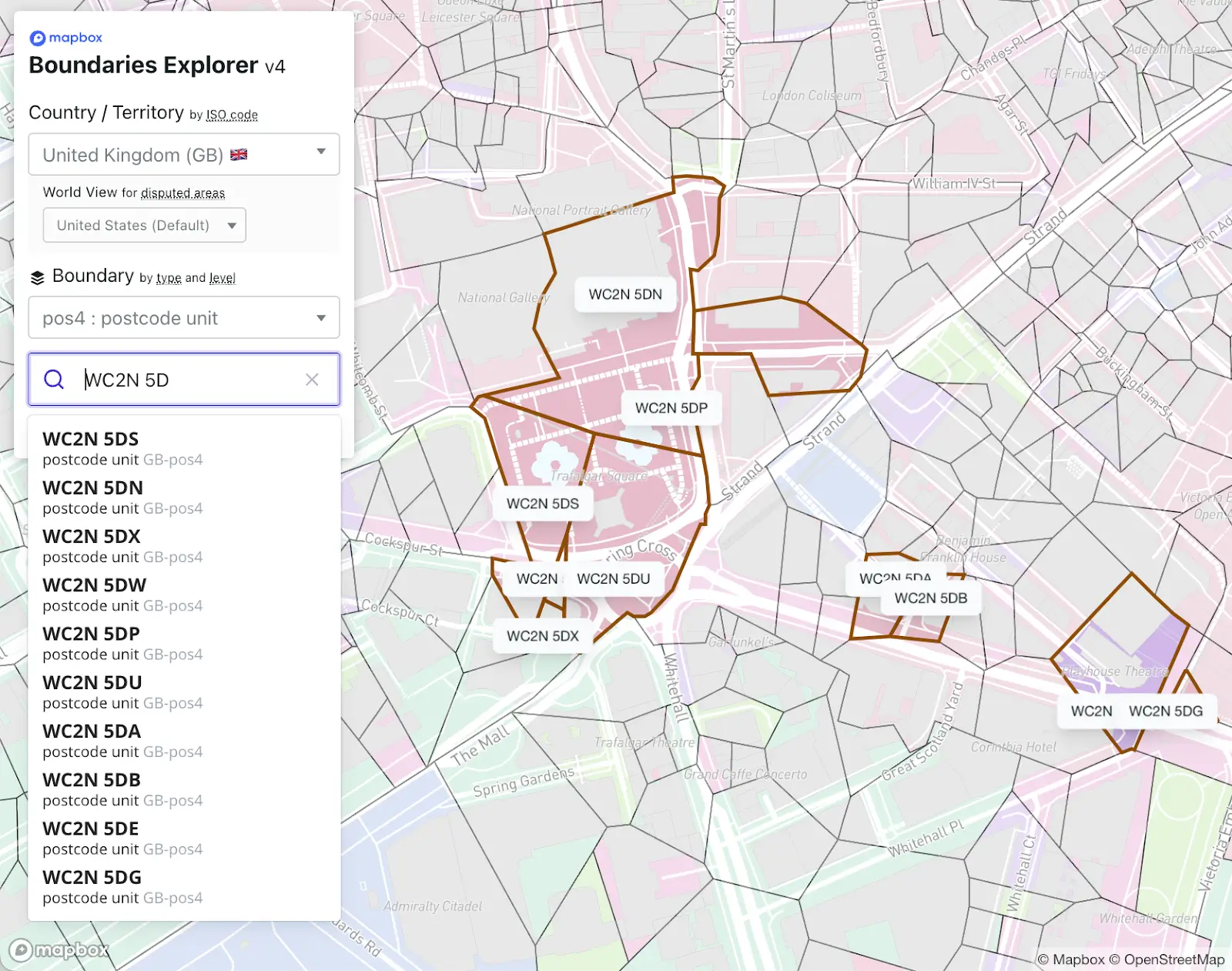
Free Mapbox Boundaries flat file sample data
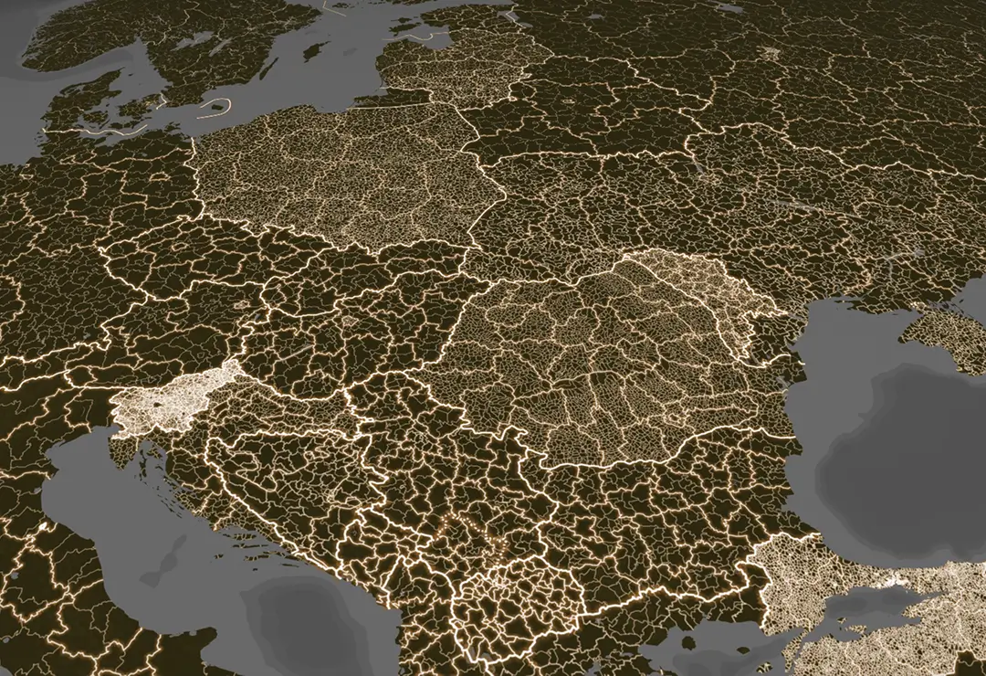
Mapbox Boundaries delivers high-accuracy, global boundary data with over 5 million boundaries worldwide, trusted for precision-sensitive analytics, logistics, and business intelligence. Coverage spans geopolitical, postal, local, legislative, and statistical boundaries – maintained with consistent hierarchy and edge-matched accuracy.
Mapbox Boundaries datasets are available in two formats to match analysis workflows. Vector tiles provide quick and lightweight API access for production apps. Flat GeoJSON files support self-hosted setups and advanced geospatial analysis that require raw geometry and metadata, such as in data science and BI environments.
Preview tilesets now. Explore the Mapbox Boundaries vector tiles in an interactive playground.
Need self-hosted flat file boundary data?
Use this form to request a free flat file sample dataset for evaluation.
Get access
Why customers choose Mapbox Boundaries
5M+ high-accuracy boundaries worldwide
.gif)
Flexible formats for API access or self-hosting
.gif)
High-speed, high-performance delivery
.gif)
Precision edge matching
Right-sized pricing that scales with your needs
Trusted for accurate, scalable geographic data
.svg)
.svg)
.svg)
.svg)

.svg)

Hyperplan reduced loading time by 20% and decreased scaling times from days to seconds with Mapbox GL JS, Geocoding, and the flat file Boundaries.
Read showcase →
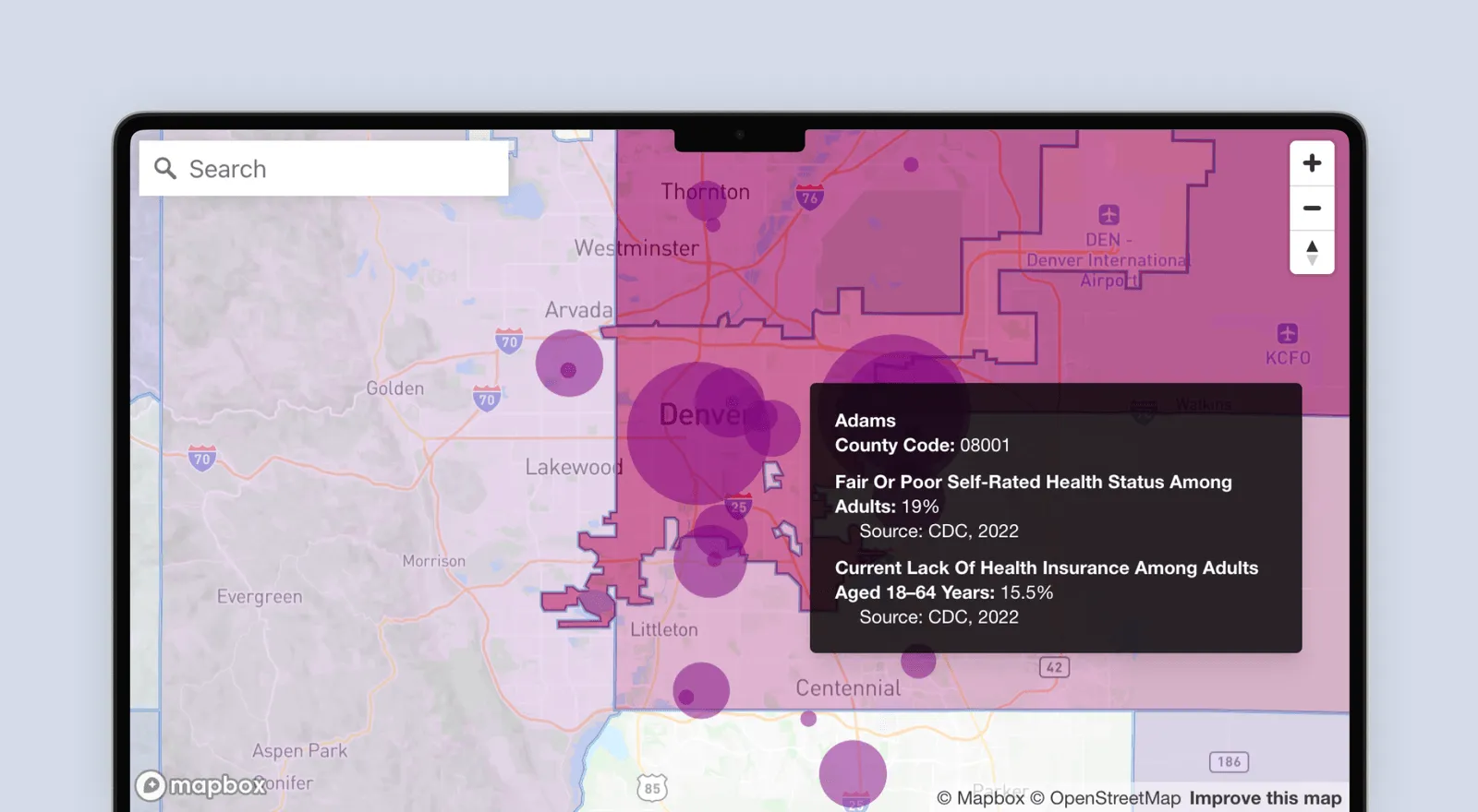
Mapbox Boundaries helps DataKind deliver accessible insights with 50% faster load times and 58% higher engagement.
Read showcase →
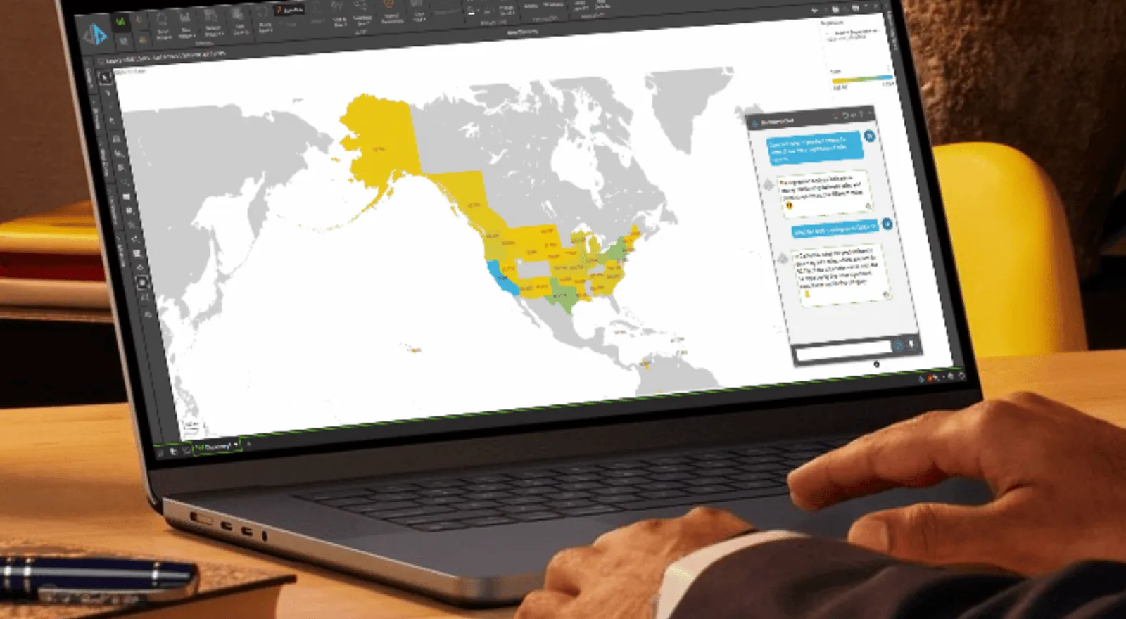
Pyramid Analytics integrates Mapbox Boundaries into its GenBI platform, enabling users to ask questions and receive conversational map-based answers.
Read showcase →
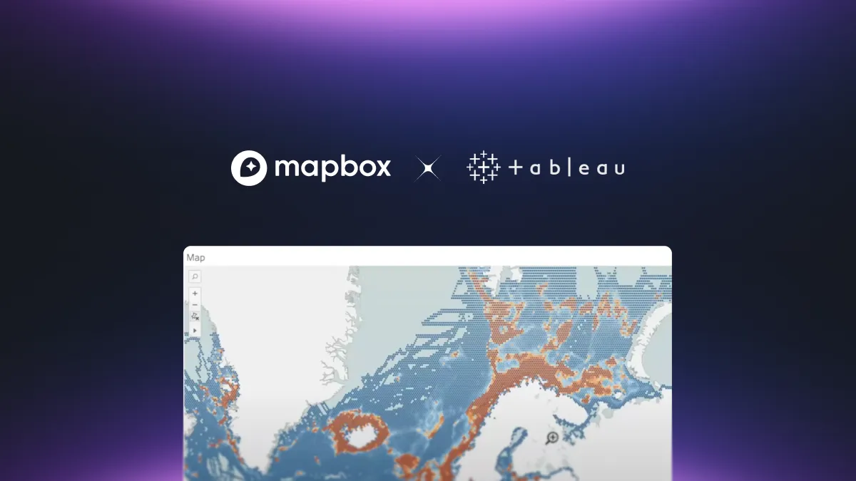
Mapbox Boundaries tilesets power Tableau’s user-friendly map-making experience, enabling analysts to explore data by region, layer insights visually, and reuse styles at scale.
Read blog post →