Did you catch the eclipse this week? We at Mapbox were right there with you, and we're excited to share some fascinating insights from our Movement data.
Mapbox Movement is a global privacy-forward dataset of mobile device activity, built on our first-party telemetry data, and powered by over 700M monthly active users.
We provided The New York Times with Mapbox Movement data for the week before and during the eclipse, focusing on the path of totality. This allowed them to analyze how the eclipse impacted travel patterns. Their fantastic analysis revealed a dramatic increase in activity within the eclipse path.
Our team at Mapbox also looked at the activity data on the day of the eclipse, and compared it to the average activity over the previous four Mondays. The resulting map shows the regions in the path of the eclipse "light up" with increases in activity of 25% and more — possibly the largest single-day change in on-the-ground activity in the U.S. that we have observed in the four years that we have been generating this data.
Some of the locations across the country have experienced enormous spikes in activity, either as people flocked to watch the eclipse, or as they passed through them on their way to or from their eclipse-watching destinations. For example, parts of Missouri experienced a bump of around 1.5 times the volume of the normal Monday activity, while activity in the county of Essex, Vermont was almost four times its normal Monday average.

The weather seems to have played a role as well. Several days before the eclipse, the forecasts predicted cloud cover with a chance of rain in Texas and southern Kansas, while parts of Missouri, Indianapolis, St. Louis, and New England were expected to be the best spots for viewing. These align with the areas of relatively low and high activity in our maps, respectively.
Interestingly, the majority of the movement on the ground actually happened before and after the eclipse. In the path of the eclipse, we see some of the lowest activity values in the hour of eclipse peak — as people across the country stopped everything they were doing, and stared in awe.
In the end, the eclipse was probably a net benefit to the local economies, both on the day of the event, and in the surrounding days. In Tuesday's activity map, the eclipse path remains clearly visible, albeit with not nearly as much of a bump in movement, suggesting that some of the eclipse-chasers have waited until the following day to travel home.

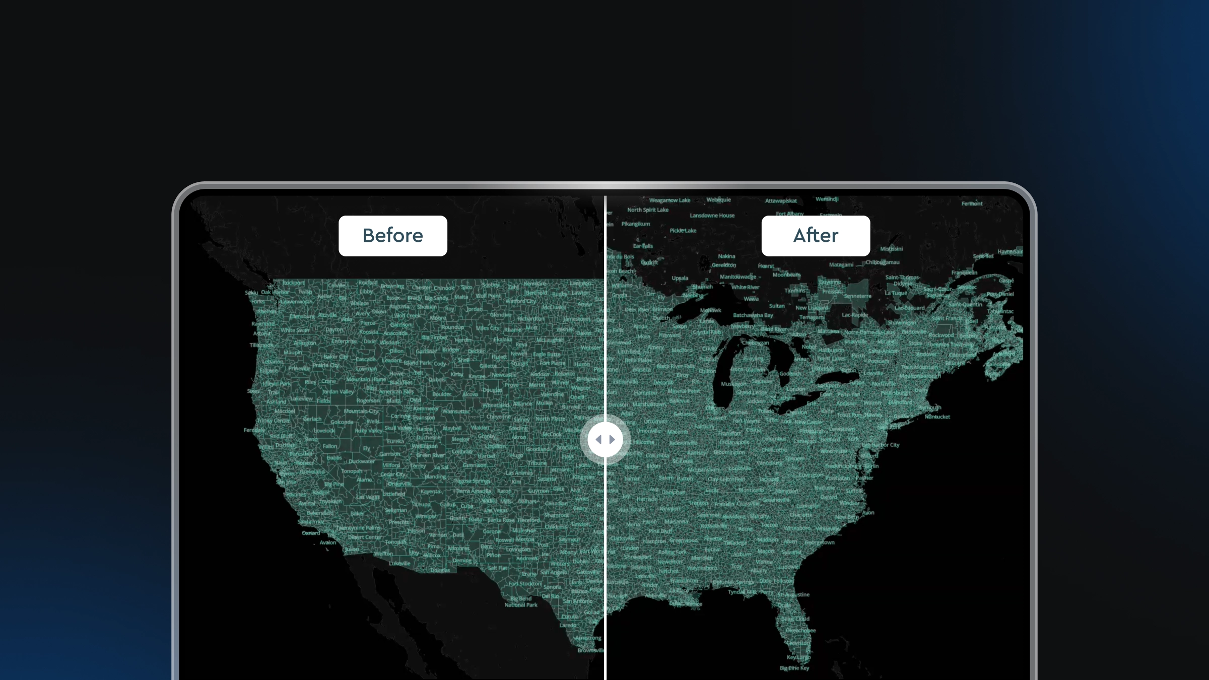
Mapbox continues our innovation on Movement data, and we just released the latest version of our dataset, providing broader coverage, enhanced privacy, and higher consistency over time.
If you're interested in how Mapbox Movement data can help your team, download the free sample or reach out at movement@mapbox.com.


Related articles

Drag, drop, edit, publish: A simplified workflow for custom data
Mission-ready mapping: Securely bring together maps, AI, and response