Perform deeper geospatial analysis with Mapbox Boundaries flat file format
Introducing Mapbox Boundaries flat file format: advanced analysis & data-driven decisions

Mapbox Boundaries are now available as a flat GeoJSON file, equipping customers for advanced geospatial analysis and integrations for spatial extraction, transformation, and loading (ETL). The flat file option offers several advantages over the existing tileset format for geospatial analysis: ready for geospatial analysis, high-throughput geocoding and geotagging, easier access to metadata, and deriving and calculating new insights.

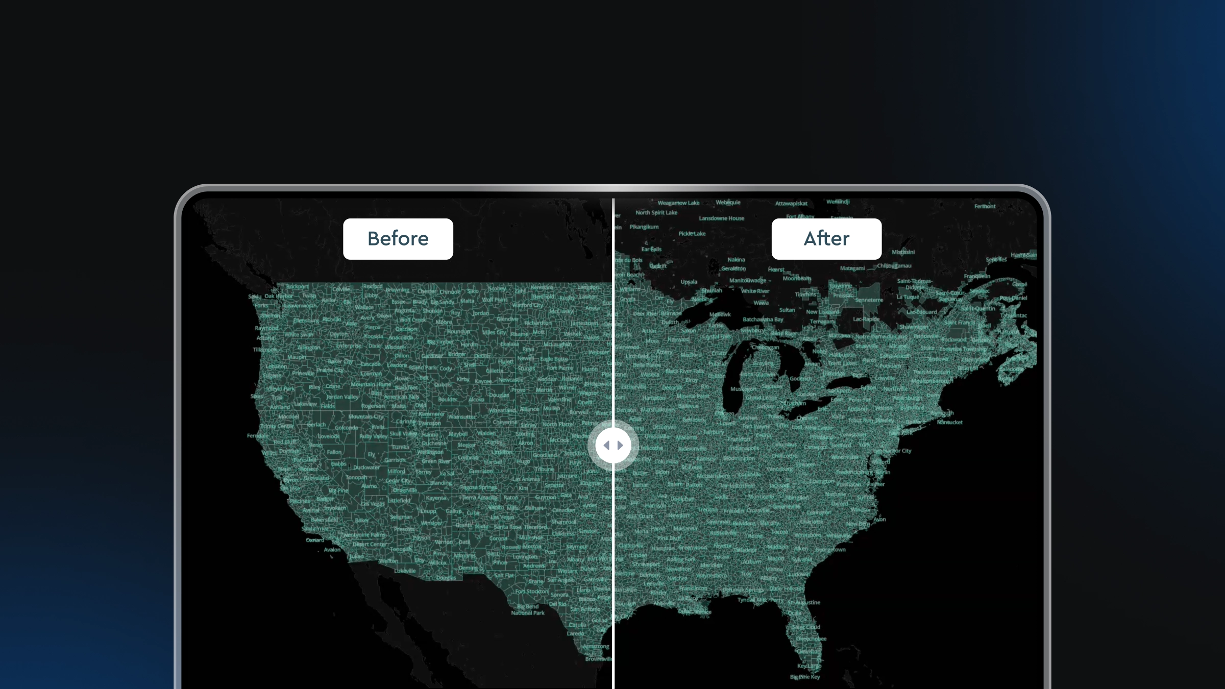
High-performance tilesets
Mapbox Boundaries is one of the most complete and high-quality datasets available for geopolitical, postal, local, legislative, and statistical boundaries around the world, and it is used by customers like HomeAdvisor, Microstrategy, and Varicent to build interactive map experiences, fast geospatial visualizations, and sales territory planning tools.
For years, customers have built with Mapbox Boundaries as Mapbox vector tilesets. Tilesets are a highly-optimized format for delivering boundary data for all map scales. The benefits of the vector tile format include fast load time performance, easy implementation, and flexibility for making client-side data joins. While tilesets save time and costs by reducing both engineering and maintenance time, the format does pose limitations for customers that want to perform deeper geospatial analysis in combination with other business data.
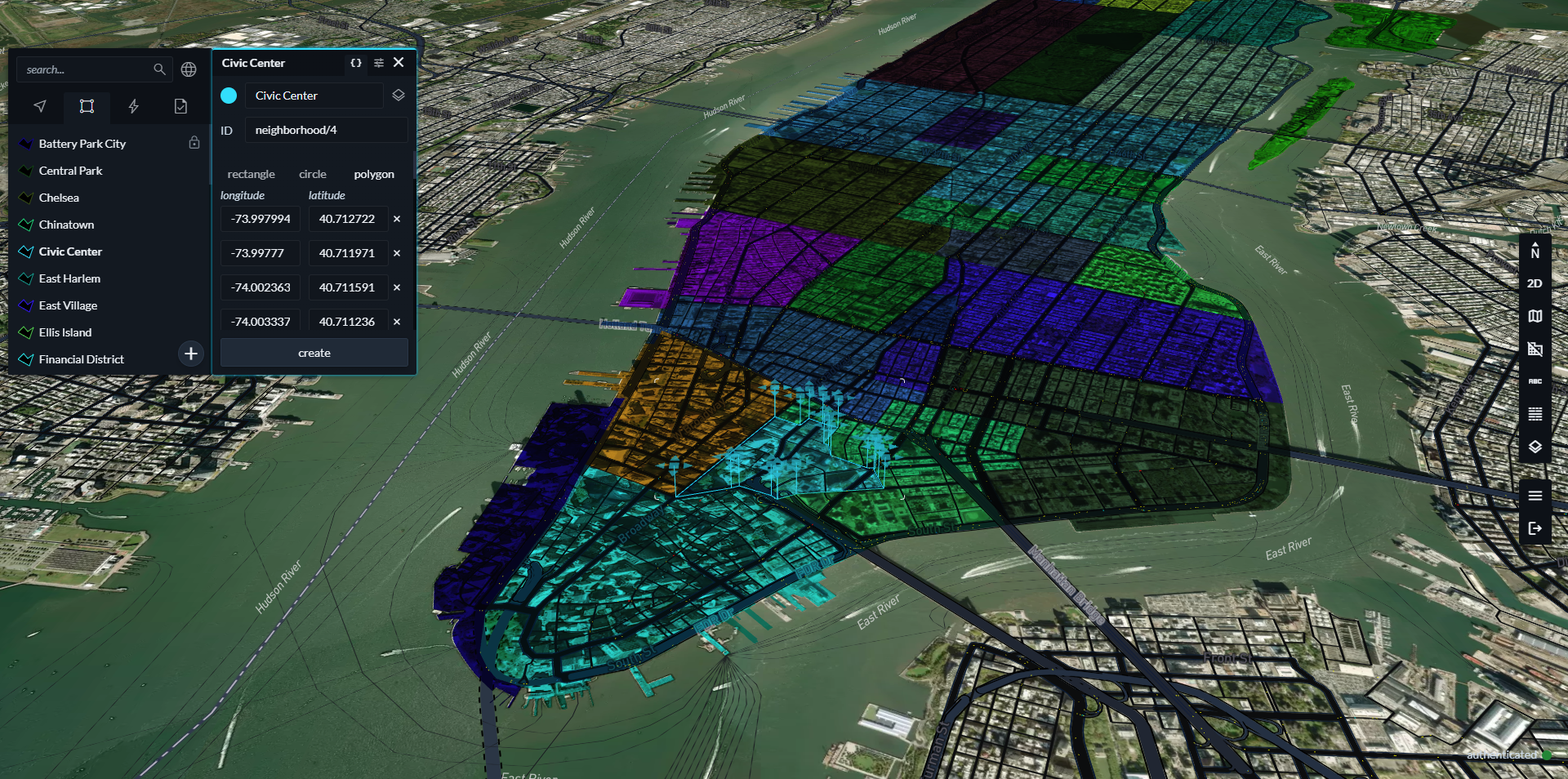
Flat file flexibility

The flat file option for Mapbox Boundaries provides access to the raw geometry of boundaries features, enabling more sophisticated geospatial analysis within customers’ geospatial and data science workflows. The flat file option enables more flexible data integration options, such as the ability to show internal logistics based on geolocation or model how distribution works in different geographic areas. The deeper level of analysis equips customers with location insights to make more informed business decisions.
“The flat file boundary enabled us to do calculations on our backend side by checking intersections that perfectly match boundaries we display on our app. Doing so on all administrative levels made our job easier, and will also allow us to quickly scale for every new country we target.”
Clément Routier, Directeur UX Design & Développement Front-end at Hyperplan
Key benefits of the flat file format
Flat files allow data teams to derive powerful insights from the raw geometry data maintained by Mapbox.
Ready for geospatial analysis
Access to the raw geometry of Mapbox Boundaries features opens the possibility of numerous popular and powerful geospatial operations. For example, using a ‘union’ or ‘intersect’ function with boundary polygons allows analysts to calculate sub-areas, such as land acreages within a given county, or miles of watershed within a given region.
High-throughput geocoding and geotagging
Customers with workflows that require geocoding or geotagging of Place data can now bring Mapbox Boundaries data into their existing workflows, instead of needing to add an external step of querying the Boundaries tileset. This is especially useful for high-volume use cases, as local access to the Boundaries data means no rate-limits or latency from hosted services. Applications of high-volume geocoding or geotagging include use cases like real-time content tagging for geomarketing and enriching geographic coordinates from high-volume IoT devices with metadata, such as city and state, from the Boundaries polygons.
Easier access to metadata
The flat file format combines both Boundaries geometry and metadata for each feature, making it easier to conduct analysis that combines or intersects multiple datasets. Customers can quickly enrich spatial data with clean and canonical attribute information from Boundaries, without the need to reference multiple files.
Derive and calculate new insights
With Boundaries in a flat file format, analysts can also combine proprietary data with Mapbox Boundaries details to create derived datasets. For example, a customer can now use a spatial intersection to analyze geographic trends and pass those results through downstream models to elsewhere within a decision-making tool.
Build with one of the best in Boundaries data
Mapbox offers the leading high-quality, comprehensive boundaries data solution available today. Enterprise software companies, such as business intelligence platforms and sales management solutions, use Boundaries data to add advanced geospatial features to their software. Local service providers also use Boundaries to enhance the user experience of their applications. For example, BuildingConnected, an Autodesk company, is a bid management platform that connects owners, contractors and subcontractors looking to discover qualified builders to bid on work. By implementing Mapbox Boundaries, their product team is able to provide a visual tool for contractors to proactively and very easily indicate the exact areas in which they perform jobs. This change helps owners and general contractors by giving them more time to focus on choosing the right trades to bid on the right jobs.
The new flat file format expands the benefits of Mapbox Boundaries even further by providing more flexibility for how to build with Boundaries. To start access to Mapbox Boundaries, explore our interactive Mapbox Boundaries Explorer and schedule a demo to learn more about building with Mapbox Boundaries. For existing Mapbox Boundaries customers, learn how to access Flat Files by contacting your account manager.


Related articles

Drag, drop, edit, publish: A simplified workflow for custom data
Mission-ready mapping: Securely bring together maps, AI, and response