Back to all cases

At addresses with a Mapbox entrance point, Hovership saw 43% fewer failed first attempts.
Key benefits of building with Mapbox
- 43% fewer failed first attempts at addresses with a Mapbox entrance point, with a failure rate of 1.3% compared with 2.3%.
- 63% fewer “incorrect address” failures and 44% fewer “no access” failures at addresses with a Mapbox entrance point.
- 98.7% of 1.25 million geocoded addresses resolved without human review.
products used
About Hovership
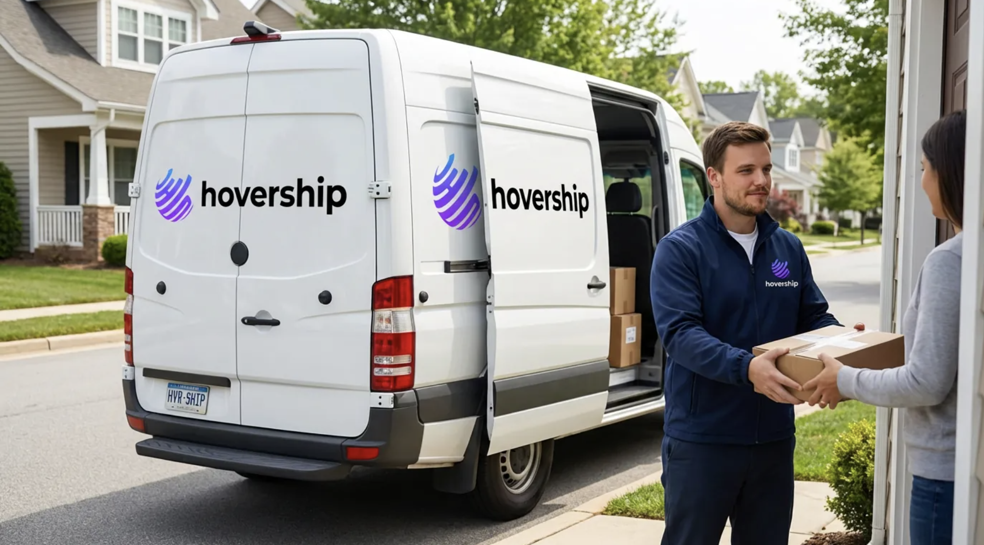
Hovership is a technology-led delivery company. Shippers use the Hovership Platform to create shipments, run daily operations, track deliveries, and view performance.
The company provides same-day, next-day, and specialized delivery services across 31 states and more than 9,700 ZIP codes. Its customers range from single-location businesses to large enterprise programs and 3PLs across retail, healthcare, and B2B delivery.
Hovership also operates its own delivery network, Hovership Direct. Its dispatchers and drivers use the same platform Hovership provides to customers. This gives the team a way to test new features on real routes and see whether better technology actually improves delivery outcomes.
For Hovership, almost all of that depends on knowing exactly where things are.
Every delivery starts with an imperfect address
Every shipment starts with an address someone typed, sent through an API, or imported from a CSV file. Addresses are wrong more often than anyone likes to admit.
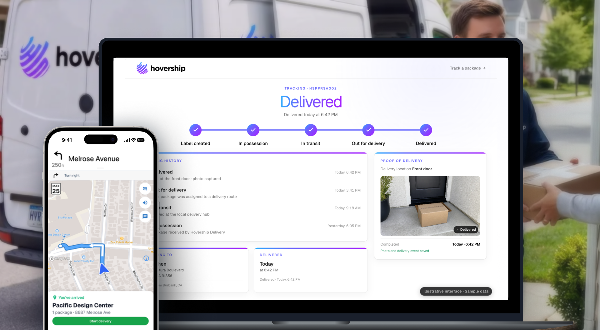
A dispatcher has only minutes to build routes. A driver needs directions that lead to the right place — not just a point in the middle of a building. And customers want an accurate delivery window and a live view of where their package is, not an “out for delivery” status that looks the same at 8 a.m. and 3 p.m.
That only works if the geocode, dispatch map, driver route, ETA, and tracking pin come from the same road network. When they do not, stops land on the wrong side of buildings, ETAs drift, and drivers open a consumer navigation app instead of the Hovership Driver App.
Hovership built its system around one shared address record. Each address is geocoded once, stored for future deliveries, and improved when a driver or dispatcher corrects the location.
This makes it possible for the same location information to support dispatch, navigation, tracking, and reporting.
Hovership builds on Mapbox across every screen
Hovership chose Mapbox because it could use one location platform across the full delivery journey.
Mapbox GL JS powers maps in Hovership's Next.js dashboard and recipient tracking page. Mapbox maps and navigation also run inside the React Native Hovership Driver App, and Hovership's Go backend calls Mapbox APIs directly.
The Geocoding API processes every address entering the platform. Low-confidence results can be flagged for review, while accepted locations are stored and reused for future shipments. They also retain the address coordinate and Mapbox’s routable points: the default vehicle stopping point and, when available, the physical entrance. Mapbox Search JS also provides address autofill during order entry, helping Hovership catch a bad address before it becomes a problem at the delivery door.
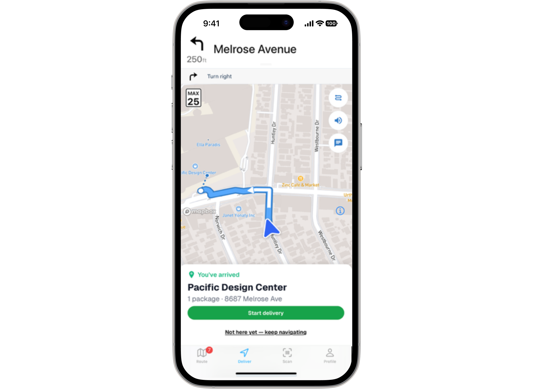
The Navigation SDK provides turn-by-turn directions inside the driver app. Keeping drivers inside Hovership's app also allows the company to maintain the live driver location, ETAs, and arrival signals used for shipment tracking. Mapbox GL JS powers the dispatch map, live driver position on shipment details, performance heatmaps, proof-of-delivery maps, and more. The Optimization API helps dispatchers optimize routes, while the Directions API provides drive-time information and the Map Matching API snaps driver GPS traces to the road for route replay and chain-of-custody visibility.
Scaling the delivery experience as Hovership grows
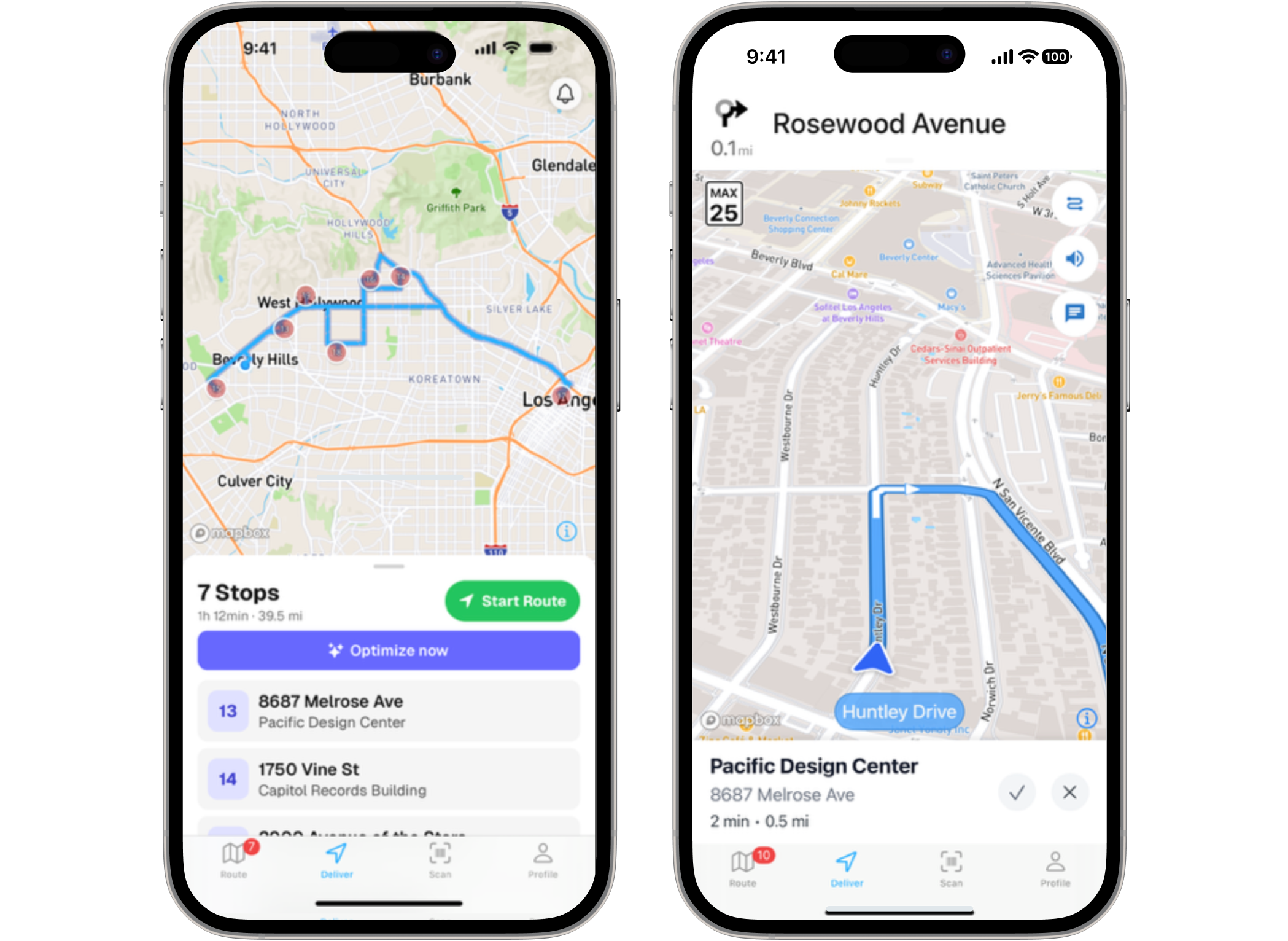
Hovership has a small engineering team. The same people build the dispatch dashboard, driver app, and tracking page. Hovership didn't set out to build on Mapbox end to end. Instead, the team added Mapbox products as the platform grew, one need at a time. The first need was a map that dispatchers could use to manage deliveries, so Hovership added Mapbox GL JS to its Next.js dashboard. Next, the team brought Mapbox maps into the Hovership Driver App for route overviews and stop selection.
Navigation came next. Hovership wanted drivers to have the same kind of turn-by-turn experience they expected from a consumer navigation app. If drivers had to leave Hovership and open another navigation app, Hovership could lose the live location, ETAs, and arrival signals that power shipment tracking.
The team built its own integration using the Mapbox Navigation SDK for iOS and Android. Drivers now get native turn-by-turn guidance without leaving the Hovership app.
Our use of Mapbox grew the way the product did. Each time we could see the next thing that would make deliveries better, Mapbox had something for it: a map for the dispatch board, then one in the driver's hand, then native turn-by-turn, then an entrance point to walk to.
Nick Sirago, CTO, Hovership
Underneath it all is one early product decision. Every address lives in one shared record, geocoded once by the Go backend and reused for every shipment to that address. That foundation made it easier for Hovership to add another level of location accuracy.
Helping drivers find the right entrance
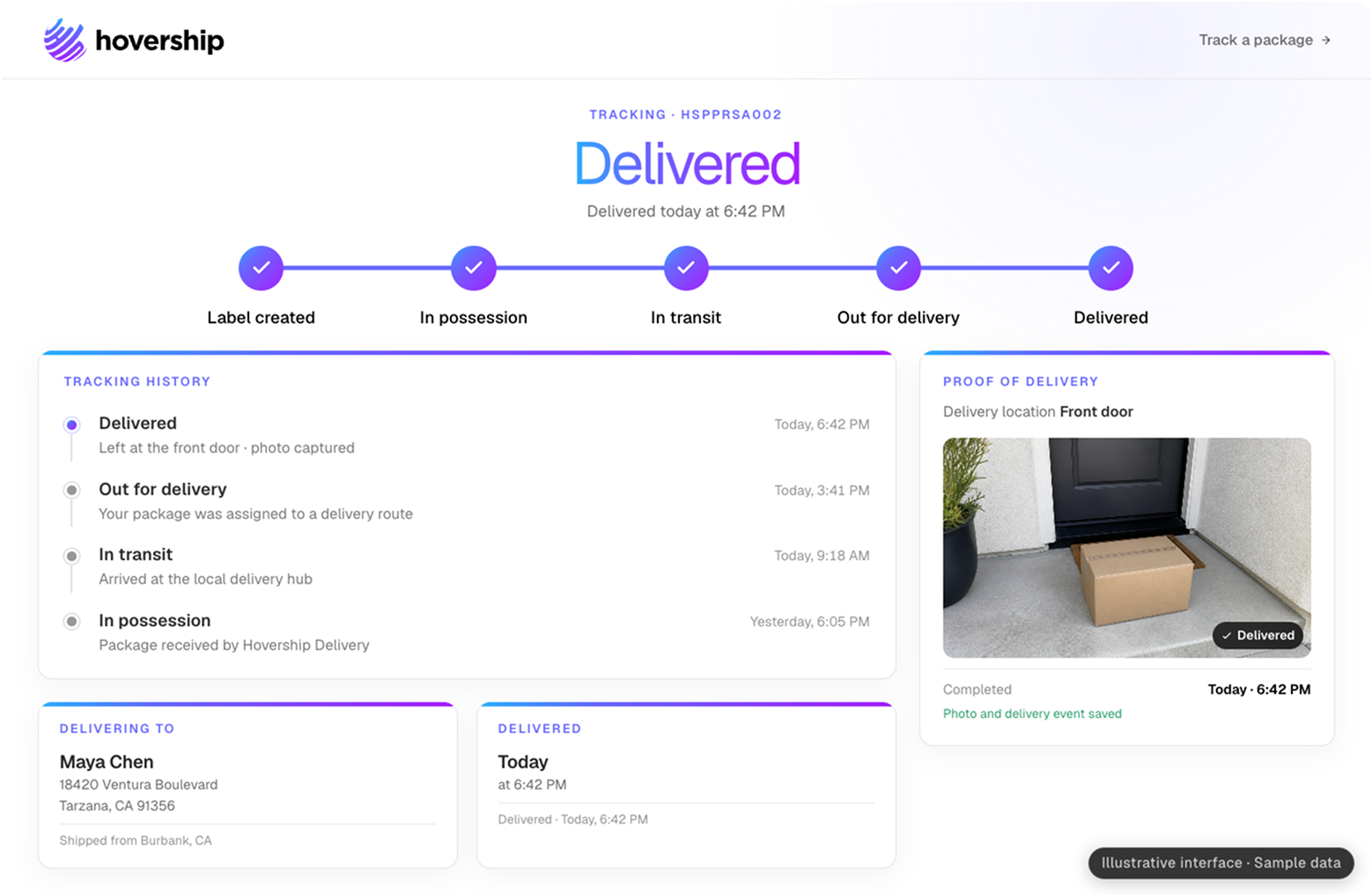
In January 2026, Hovership moved its geocoding workflow to Mapbox to take advantage of entrance data.
Because geocoding already ran through one shared part of the Hovership platform, the engineering team only needed to update one backend worker. The new Mapbox location data then became available across dispatch, navigation, tracking, and reporting.
Before the change, most of Hovership's geocoding came from another provider. Rooftop coordinates could sometimes send drivers to the wrong side of a building, an alley, or a loading dock when the actual entrance was somewhere else.
Mapbox Geocoding entrance data gave Hovership a more precise way to guide drivers through the final part of a delivery. Hovership uses two Mapbox location points for two different parts of the trip.
First, the vehicle is routed to the routable point, which represents the right place for the driver to stop. After the driver arrives, the Hovership app shows a final walking route to the entrance point. The entrance point itself is not passed to the vehicle router. Instead, Hovership uses each location point for the part of the delivery it is designed to support.
Through summer 2026, Hovership also re-geocoded 400,000 existing addresses that had rooftop coordinates but did not have entrance information.
Fewer failed attempts at addresses with entrance data
Geocoding is where Mapbox made the biggest difference for Hovership. From August 1 through August 26, 2026, Hovership Direct handled approximately 670,000 delivery visits across 11,600 routes and about 950 drivers. On a typical weekday, its network handled about 36,000 delivery visits.
Hovership saw a clear difference at addresses where Mapbox returned an entrance point. At addresses with a Mapbox entrance point, Hovership saw 43% fewer failed first attempts, with a failure rate of 1.3% compared with 2.3% at addresses without an entrance point. Hovership also saw 63% fewer “incorrect address” failures and 44% fewer “no access” failures at addresses with an entrance point.
By August 26, Hovership had geocoded 1.25 million addresses with the Mapbox Geocoding API. Of those, 98.7% were resolved without human review.
These results appeared across the network, with lower first-attempt failure rates at 37 of the 41 hubs included in the analysis. Drivers were also getting close to the identified entrance: 87% of completed deliveries happened within 100 feet of the Mapbox entrance point.
During the same August period, Hovership dispatchers completed more than 6,000 route optimization runs with the Mapbox Optimization API.
Our promise to shippers is that they can see the delivery working. That's not a dashboard promise; it's a promise about what happens at the door, and the door is where Mapbox earns its keep for us. Fewer failed first attempts, fewer wrong-address calls, a driver who parks in the right spot. Shippers notice that before they notice anything on a screen.
John Zendejas, CEO, Hovership
Helping a small team operate at scale
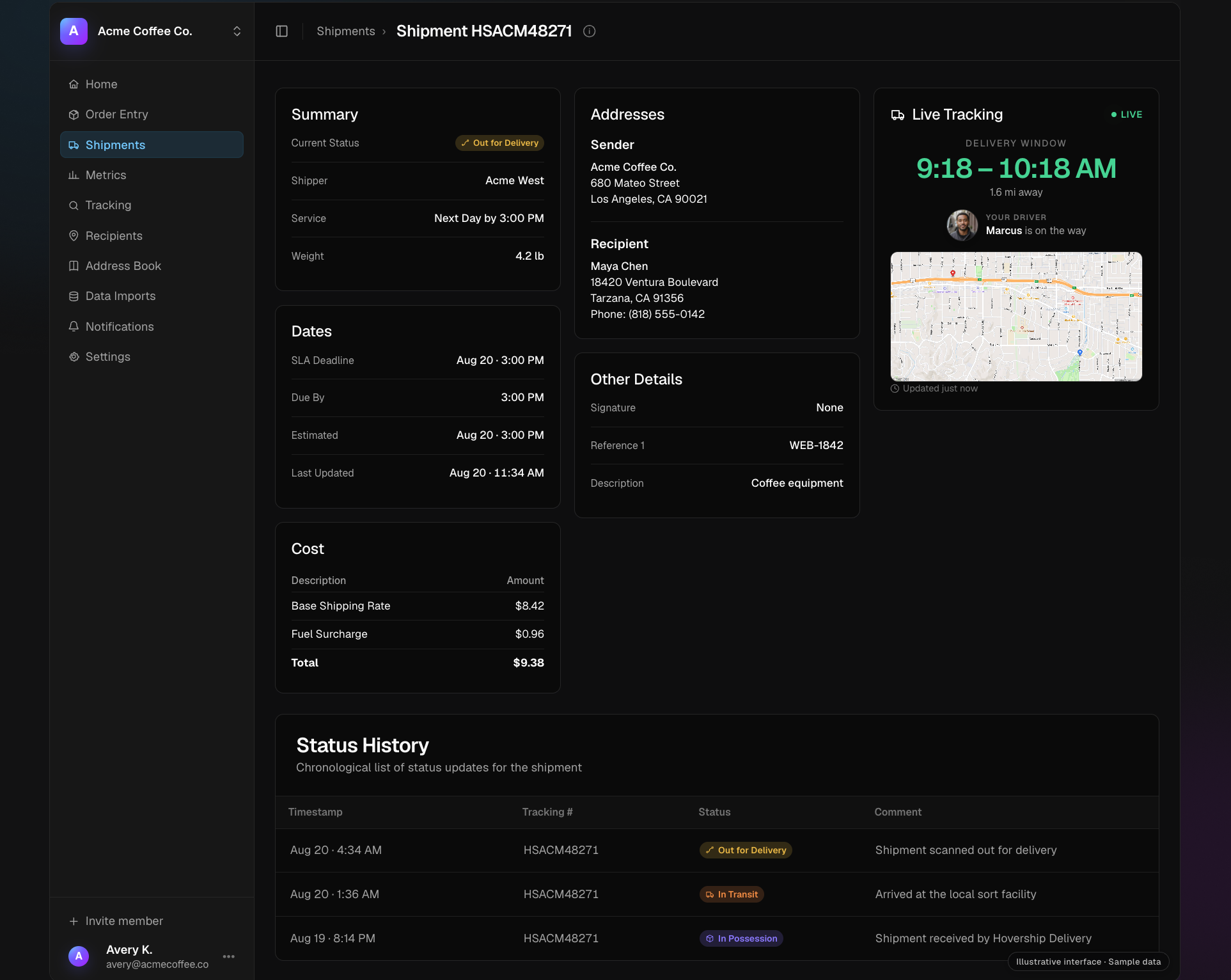
Mapbox helps Hovership run mapping, geocoding, navigation, routing, and tracking through one location platform. For Hovership's team, that means less mapping infrastructure to build and maintain. For dispatchers, it means a map they can use to plan and manage deliveries. And for drivers, it means guidance that helps them get from the road to the right door.
On a typical weekday, that means helping drivers find the right delivery location about 36,000 times.
As Hovership continues to grow its delivery network, Mapbox gives the team the location tools it needs to make each part of the delivery journey more accurate, reliable, and connected.