Streets
Mapbox Streets is a comprehensive, general-purpose map that emphasizes accurate, legible styling of road and transit networks.


Roadways
Highly organized road data, designed to present a clearly legible hierarchy of all road types across a wide zoom range.

Administrative boundaries
A global political and administrative boundary layer.

Built features
Building footprints, rail stations, urban parks, land use, famous landmarks, and neighborhood stores.

Unique iconography
Select countries and cities feature custom highway shields and public transit icons.

Places
A complete hierarchy of location labels, from countries and states down to villages and neighborhoods.

Terrain
Vivid hillshading delivers visually tactile topography for outdoor and active lifestyle apps.
Vibrant colors
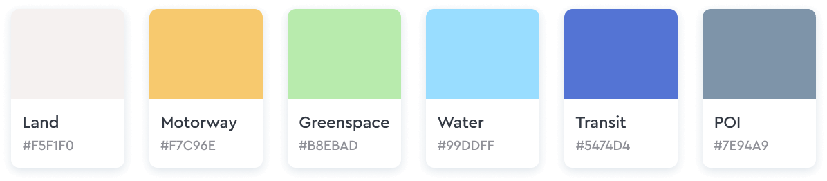
Mapbox Streets has a high-contrast color system that allows the viewer to easily recognize map features and quickly understand hierarchies and classifications. The color system is fine-tuned to work perfectly at each level, and shifts subtly across zooms.
Detailed transit styling
Mapbox Streets includes a wide variety of transit layers – from motorways to paths to ferries – and has been designed to provide an intricate rendering of their routes, intersections, and overlaps. In select cities and countries, Mapbox Streets also features local public transit icons and highway shields to help orient the user and connect the map to their environment.
Points of interest, place labels and icons
Mapbox Streets features a broad range of accurate and legible place names and POIs, styled to indicate category and scale, and filtered to only show the most important callouts across the zoom range. Icons have background shapes and pronounced colors, making them particularly viewable on mobile. In Mapbox Studio, you can customize these icons with different shapes, sizes, and colors based on classification.
Wayfinding and pedestrian usability
We’ve improved wayfinding with a residential land use classification that appears at low zoom levels, and commercial and industrial classifications that appear as you zoom closer. We’ve also added pedestrian labels like crosswalks, building entrances, fences and gates. These layers ultimately make foot navigation safer and more accessible.
Globe View at low zoom levels
Mapbox Streets defaults to Globe View at low zoom levels, including fog and atmospheric properties, offering you an alternative to the flat and skewed Mercator Projection when aiming to realistically display visual information that is continental in scale.