Why and When to use Static Maps
Fast, engaging, and universally supported maps


Static Maps are the simplest way to show a map on a website or mobile application because they don’t require a mapping library or SDK and can be displayed anywhere images can, including in applications or UIs where interactive maps can’t be integrated. Mapbox Static Maps are a collection of REST APIs and client libraries for generating images of Mapbox Studio styles.
Developers use Static Maps to create maps with just a few lines of code and oftentimes a single HTML image tag. Static Maps are also fast. Across different use cases and regions, average load times for Static Maps are between 100–425 milliseconds depending on whether the image is already cached.
Customers like Strava, Ancestry, Yahoo! Japan, Route.com, and others use Static Maps to decrease load times and drive engagement for their users.
5 ways to use Static Maps
1. Deliver Consistent Web Experience
Static Maps are rendered as images, enabling cross-browser and cross-platform support, including in legacy browsers that don’t support OpenGL — the rendering technology used by most web and mobile map renderers — as well as more traditional media like printed news.
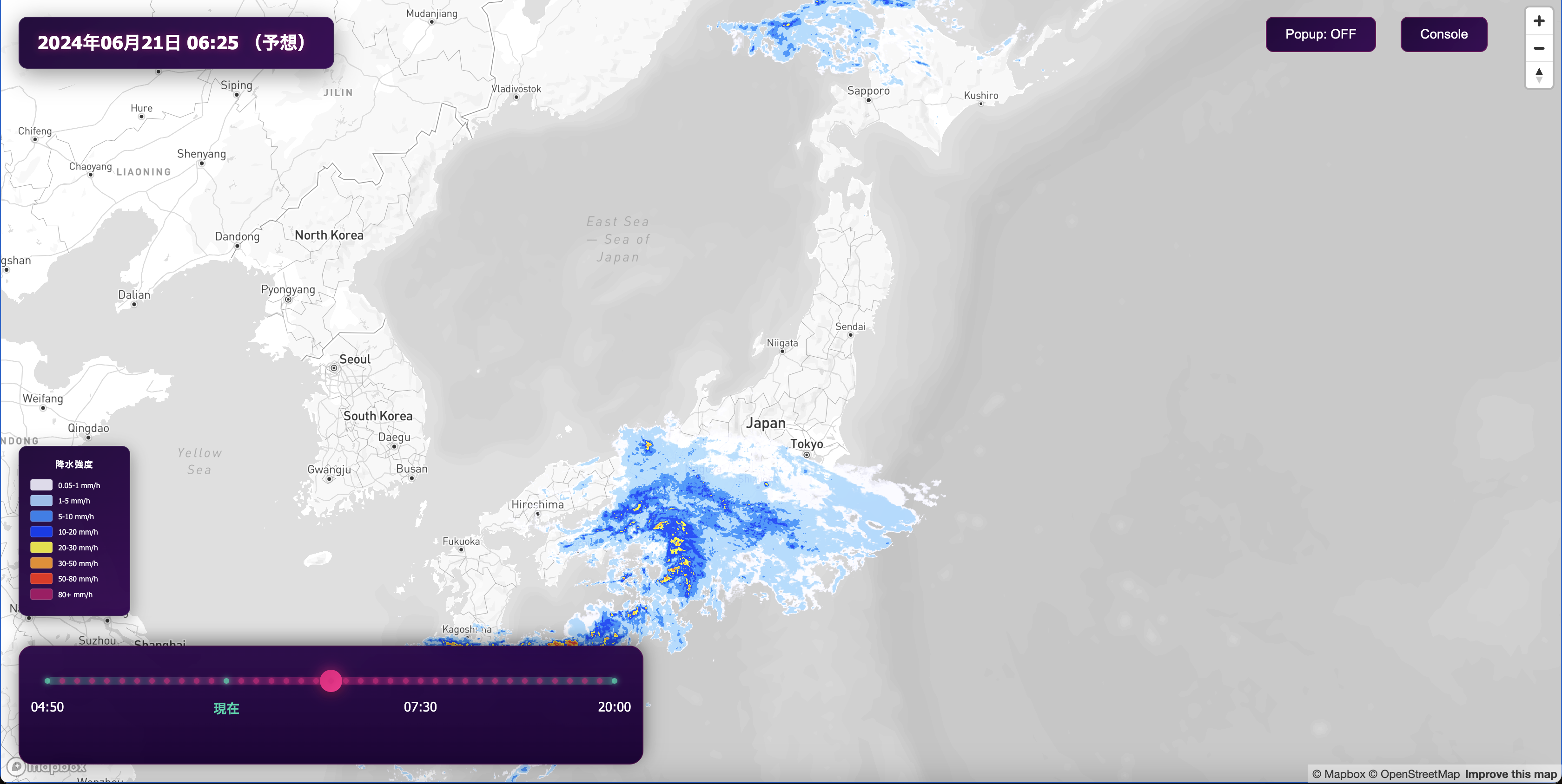
With Static Maps, data journalists like The Weather Company are able to deliver more than just forecasts. They can produce data-driven visualizations showing wind speed, heat waves, or storm fronts in your neighborhood and around the world in beautiful colors.
Yahoo! Japan uses the universal platform support of Static Maps to deliver a consistent web experience to their user base regardless of the browser they use. They created one map style in Mapbox Studio that they are able to serve to their entire web user base with both GL JS for those whose browsers support it, and for those whose browsers don’t, they fall back to using Static Maps. Because GL JS and Static Maps use the same map rendering logic, Yahoo! Japan’s users get a consistent map experience. Check out this guide for how to build the same experience.

2. Fitness Feeds
Because Static Maps are fast and lightweight, they’re perfect for use cases where improved performance directly drives engagement.
Strava uses Static Maps to display a dynamic activity feed with route maps that show users detailed summaries of their runs, bikes, and other activities. These maps provide users with contextual information that encourages others to engage and get active themselves.

3. Social Media
Nextdoor lets you connect with the neighborhoods that matter the most to you. With Static Maps, neighbors can explore their local community through a map feed, which is critical for establishing a sense of place and connecting with the people and places nearby.

4. Logistics & Online Receipts
Static Maps save developers time, without sacrificing features or flexibility. Route.com uses Static Maps alongside interactive maps in their package tracking app to give users a fast and accurate picture of where their packages are and when they will arrive, all in one place.
The use of Static Maps helps Route.com seamlessly display current orders and the route they are taking to delivery, providing users with a seamless experience to track the complete journey of their packages.

Customers like Square use Static Maps to augment online receipts, which build trust with their users by giving them an accurate overview of where their purchase took place. With a glance at the map, customers can confirm their order or purchase, and identify if a fraudulent transaction occurred.

5. Property Listings
Static Maps are easy to implement, yet are powerful to add context to your product. Apartment List uses Static Maps to display locations of their listings on property pages which give users an idea of where their rental apartment is and what is nearby to give context. They use Static Maps alongside interactive maps to unlock more features for users to explore nearby areas for grocery stores, restaurants, and public transportation to help users make their decision to rent an apartment of their choice.

Benefits of Using Static Maps
Improved Perceived Web Performance
Developers can also use the fast load times of Static Maps to improve the perceived performance of their GL web maps. Perceived performance is an indication of how fast a website feels to a user. Tactics that improve perceived performance allow developers to keep their users engaged while the full web experience loads in the background.
Developers can use Static Maps to immediately show users something relevant while an interactive GL map loads in the background, and we’ve got a tutorial that walks through exactly how to do this.
Build Static Maps with Mapbox
Start building with the Static Images API or Static Tiles API and show us what you build on Twitter using #BuiltWithMapbox. If Static Maps are missing a key feature for you, let us know!


