Data
New imagery for the Netherlands and Switzerland

We just added new aerial imagery in Europe, including full coverage of the Netherlands and Switzerland, thanks to high-quality data from PDOK (25 cm resolution Netherlands data) and SwissTopo (10 cm resolution Switzerland data). Users around the world can now plan a trip, analyze their latest run, or view their favorite ski slopes in 3D with GL JS v2.3. See the new imagery here and check out some of our favorite images below!


Authors

Yoni Nachmany

Mapbox
Related articles

Data
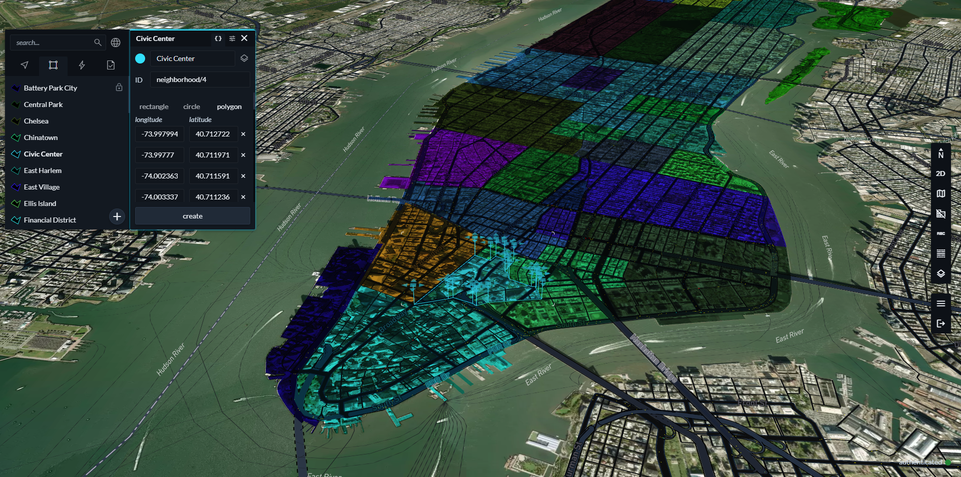
Drag, drop, edit, publish: A simplified workflow for custom data
Data
Mission-ready mapping: Securely bring together maps, AI, and response
Data