Maps
New aerial imagery for France and Portugal

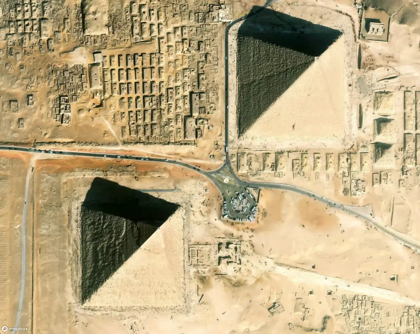
We know that work to provide the most recent, best available open-source and commercial data never ends -- to ensure you have accurate and impressive basemap imagery as your canvas. Following our update of Switzerland and the Netherlands, we’ve added additional new imagery covering Portugal and large portions of France. The imagery from SNIG covers all of continental Portugal and provides consistent 25 cm resolution data. The latest addition from IGN augments our aerial imagery update from last summer and adds 20 cm resolution imagery covering mainland France.


