No items found.
Modernizing Mapping: Live location as technology innovation
when
November 7, 2019
|

Featured speakers
No items found.
Featured host
No items found.

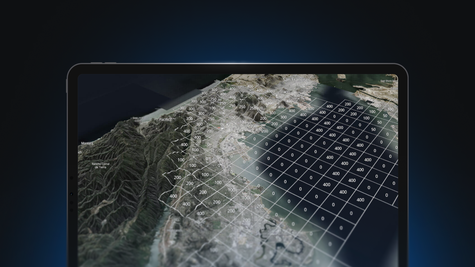
Government agencies need a real-time view of maps and location data to visualize their operations, manage their assets, and provide reliable information to their teams on the ground and to citizens directly. Modern, cloud-native mapping and location technology can help teams to better visualize and disseminate mission-critical information.


Webinar
Modernizing Mapping: Live location as technology innovation
Featured Speakers
No items found.
Host
No items found.
Government agencies need a real-time view of maps and location data to visualize their operations, manage their assets, and provide reliable information to their teams on the ground and to citizens directly. Modern, cloud-native mapping and location technology can help teams to better visualize and disseminate mission-critical information.