Agriculture
Optimize yields and fieldwork with satellites, drones, and powerful analysis


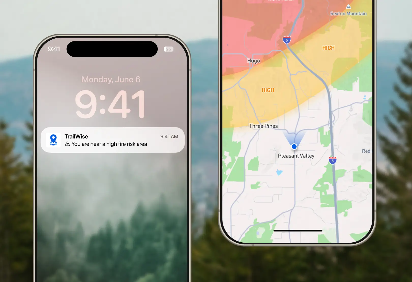
New Geofencing API simplifies managing large-scale geofences
Upload and monitor geofenced areas, then trigger alerts. For example, outdoor organizations could trigger alerts when someone has entered a restricted or dangerous area.

"On average, apps experienced +13.3% increase in MAU and +15.0% time spent/user after installing Mapbox SDK"
Read more >Offline maps
Build maps that work anywhere, even without cell reception.
Aerial imagery
Upload massive GeoTIFF files from your drones and browse them on a map minutes later.
Global imagery
Get access to high-resolution global satellite imagery for tracing and digitizing.
Real-time visibility
View field and sensor data live, on fast, custom-styled maps.
Offline maps
Build maps that work anywhere, even without cell reception.
Aerial imagery
Upload massive GeoTIFF files from your drones and browse them on a map minutes later.
Global imagery
Get access to high-resolution global satellite imagery for tracing and digitizing.
Real-time visibility
View field and sensor data live, on fast, custom-styled maps.

Bring data science to farming
With over 20% of American row crop acres under management, FarmLogs uses Mapbox to help farmers trace fields, assign crops, and run powerful data analysis. Using GL JS and the Maps SDKs for iOS and Android, FarmLogs delivers a familiar experience, whether at home or out in the field with limited connectivity.


Detect risks before they affect the output
Spensa helps farmers detect and manage problems like insects, weeds, and disease using web and mobile applications built with Mapbox. Custom maps identify areas by crop type, pest risk, and other factors that are important to the farm, and mobile maps enable scouts to take notes in the field, in real-time.

Visualise the world's crops
OneSoil's AI analyzes imagery of 65 million agricultural fields throughout the US and Europe to help farmers make more informed decisions. Mapbox GL JS allows OneSoil to visualize their enormous dataset on a fast map, and customize data styling to clearly and beautifully show field size, crop type, and productivity.

Discover the productive potential of each parcel
Granular’s AcreValue app uses proprietary algorithms to provide estimated land values. With Mapbox geocoding built in, users are able to quickly search for a city or address and return parcel data, allowing them to analyze value and productive capacity before making planting and purchasing decisions.


Showcases

Ready to get started?
Create an account or talk to one of our experts.