From storm clouds to clear skies: Japan Weather Layers save time and offer flexible styling
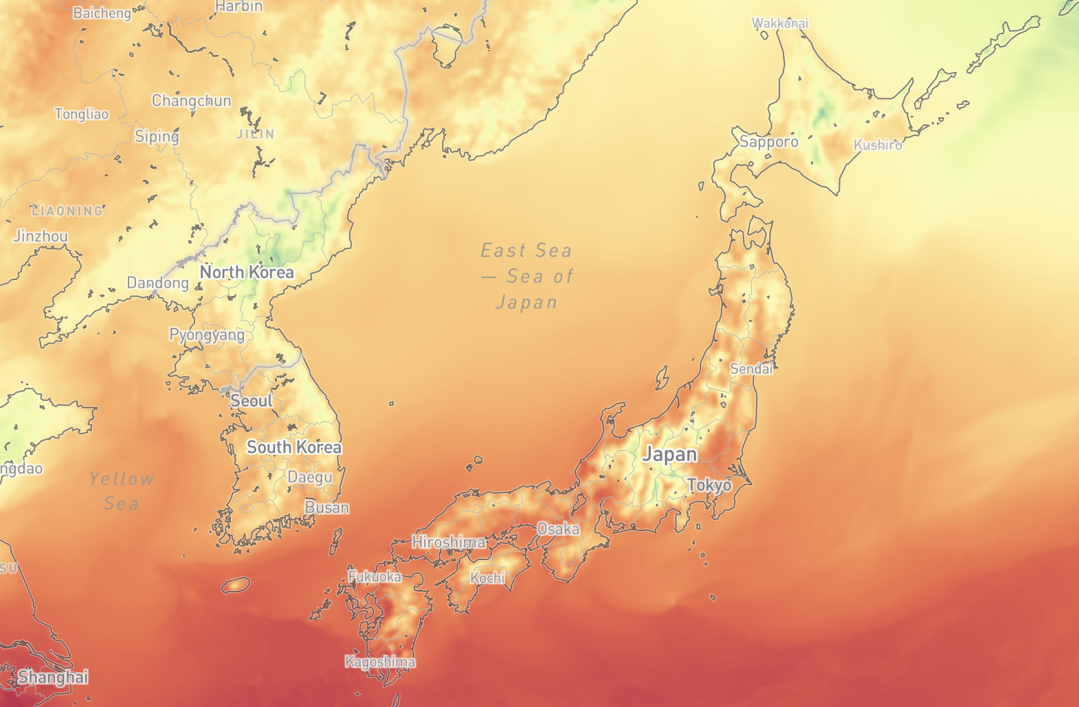
The new Mapbox Japan Weather Layers make it simpler to deliver high-quality, reliable weather information in Japan with zero infrastructure overhead. Mapbox weather layers provide data for ‘Nowcast’ precipitation, 15-hour precipitation, snow depth, temperature, wind, landslide risk, flood risk, and river flooding.
The pre-processed, ready-to-use data tilesets remove the complexity of managing a custom weather data pipeline. Companies can now integrate weather data into applications in minutes, instead of spending weeks or months on development and ongoing operational maintenance. The raster data format also provides more superior styling flexibility and analysis options than other weather data tileset offerings, unlocking more creative options for developers and companies to integrate weather-related features into applications.
From stormy skies to sunny forecasts, Japan Weather Layers are a flexible and highly scalable solution for building with weather data. Up-to-date weather information is valuable for both business operations and personal plans in Japan. Japan Weather Layers can be used to power dedicated weather applications or valuable add-on weather-related features for applications that support recreation, travel, business operations and logistics, navigation, and more.
Save time and costs, and get to market faster
Japan Weather Layers are processed from the regularly updated ‘current’ and ‘forecast’ weather data from the Japan Meteorological Agency (JMA). Some companies already source raw raster data from JMA or similar services. However, the workflow for sourcing and processing raw data into application-optimized tilesets requires significant time and technical infrastructure for initial setup and ongoing maintenance. Shifting to the Mapbox managed service can save large operations months of valuable engineering resources and avoid six figure infrastructure investments.
Japan Weather Layers service also equips companies to deliver production-ready weather data features to their customers faster. The Japan Weather Layer tilesets are ready-to-use in custom applications and designed to integrate smoothly with the Mapbox platform, where many developers and companies already manage their maps and other geospatial data.
More flexible styling of weather data
Mapbox provides most Japan Weather Layers tilesets in raster format, which enables more flexible styling and visualization options than the vector tilesets offered by some other providers. Using the raster format allows Mapbox to preserve the underlying raster data within the tileset itself, such as temperature in degrees, or direction and velocity of wind. Companies can configure their application to automatically query the data values on the backend in order to dynamically colorize the data. For example, as temperature in a certain area changes, the color of that area on the map can change dynamically at runtime instead of needing to reprocess the entire tileset.
Using a raster format also enables animating raster particles. For example, the Mapbox wind data layer maintains both the underlying data for speed and direction, but the data is only available from JMA every 3-12 hours. The particle animation technique predicts the movement of the wind data between the time increments. Users get a more intuitive understanding of weather patterns, instead of needing to interpret choppy data. Particle animation also allows for particles to persist when zooming and panning the map, improving perceived application performance.
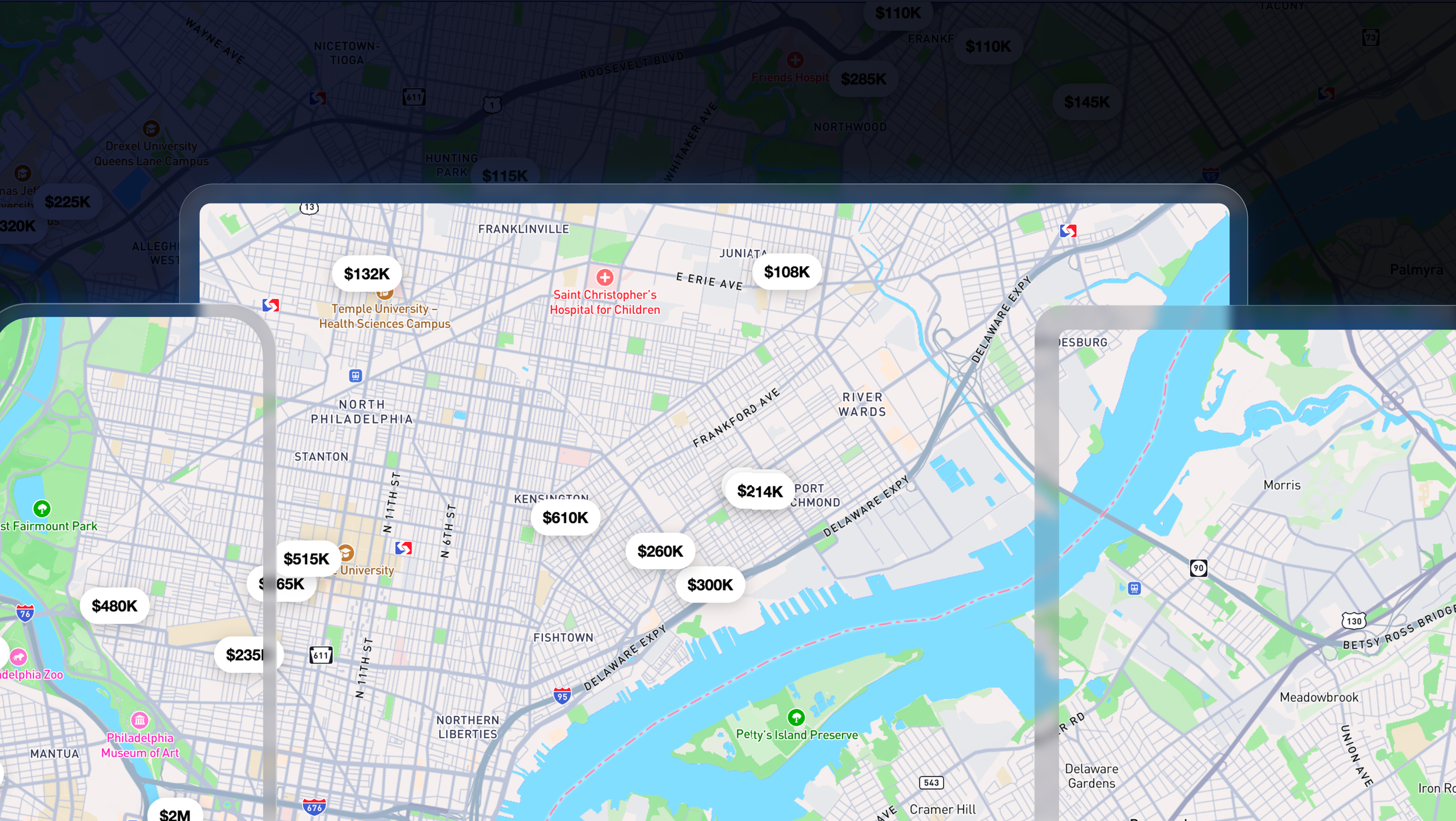
Query weather data without visualizing it
Some customers may only want to query the underlying weather data without using a visual map or map layer. Japan Weather Layers are also easy to use to inform backend analysis or application features that do not use a map, such as in-app alerts or push notifications.
For example, the operations team of a delivery company may want to query future weather, like precipitation, to predict business impact such as delays in delivery timelines. Similarly, rideshare or micromobility companies could use weather forecasts to predict changes in rider demand or surge pricing.
To enhance features for consumer applications, companies could use the weather data to send notifications to people whose plans might be affected by the weather, such as travelers, commuters, or those with outdoor jobs or hobbies. Another option could be to query the weather data to trigger coupons or promotions based on weather conditions, such as a restaurant chain sending a promotion for a warm bowl of soup when the temperature is expected to be below 5℃.
See documentation for the Tilequery API for implementation information.
Get started with Japan weather layers from Mapbox
Japan Weather Layers can be added to any Mapbox map right now. View the documentation for directions on getting started by pointing to the appropriate layer endpoint in the Mapbox Mobile SDKs and Mapbox GL JS. To see specific pricing, view the Mapbox pricing page. Japan Weather Layers are self-serve and do not require an annual contract, however, customers can contact their account manager or the Mapbox Sales Team to discuss volume pricing for using the layers at scale.
.jpeg)


Related articles
Build once, run everywhere: Web support comes to the Mapbox Maps SDK for Flutter

From airports to stadiums, maps are elevating the soccer fan experience
