30+ meter imagery update: improved recency, color, and resolution for seamless 3D terrain

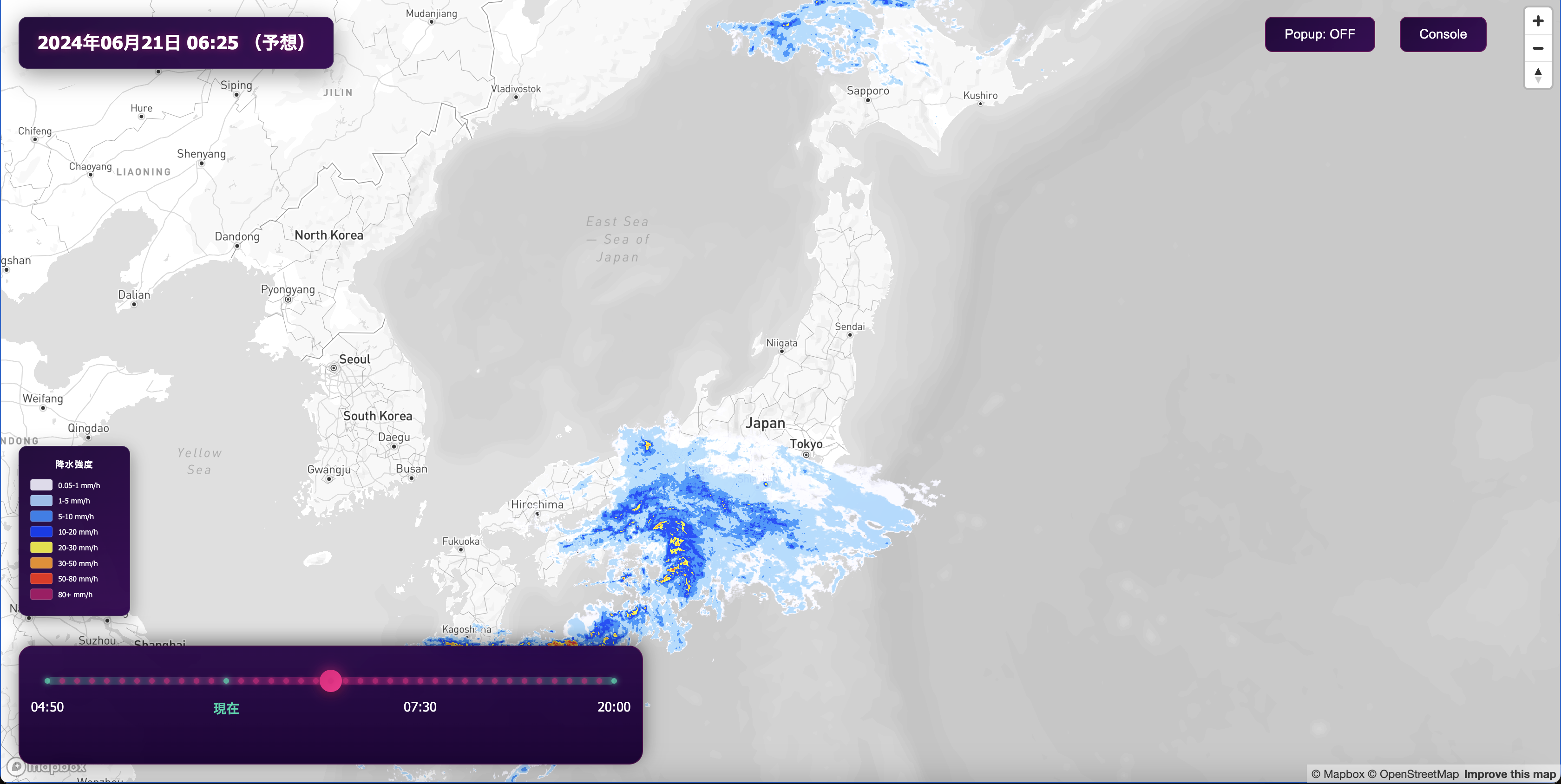
We’ve just updated our imagery layer with improved satellite data for zoom levels 8 - 12, creating a more current and better-looking map for large-scale visualizations. Whether you’re tracking a flight, looking at incoming weather, or adding depth to a BI application, this medium resolution update provides a beautiful backdrop for country-scale views. Using the same imagery from our recent global update of high-resolution imagery, this update replaces our Landsat imagery with a blend of downsampled Maxar Vivid imagery and global-scale MODIS data. Ever since producing our Cloudless Atlas, we've strived to offer the best looking imagery layer at all scales. This update adds to the experience, reducing the number of transitions between imagery sources when zooming in, delivering more seamless 2D and 3D maps.
Seamless zoom and 3D terrain
This update eliminates jarring transitions from Landsat to Vivid imagery and delivers a smoother 2D experience when zooming and 3D LOD (level-of-detail) tile loading across zoom levels toward the horizon. It also significantly reduces cloud cover across the globe and has brighter aesthetics overall. These changes are available to all Mapbox customers using imagery today without any code changes or updates necessary.
We use different imagery sources in our map, and they appear at different zoom levels, generally limited by the source’s native resolution. Historically, we’ve used MODIS for zooms 0 - 7, Landsat for zooms 8 - 12, and Maxar’s Vivid for zooms 13 - 18. Where available, we also provide higher resolution aerial imagery from Nearmap and open sources for zooms 18+.

Creating a global coverage layer from Landsat is time intensive, as thousands of individual scenes need to be mosaicked and blended together. Mapbox Satellite now replaces Landsat in most areas with a blend of Vivid data and MODIS, which delivers a highly current imagery layer that is also color-corrected over large areas.
Improved recency, color and resolution
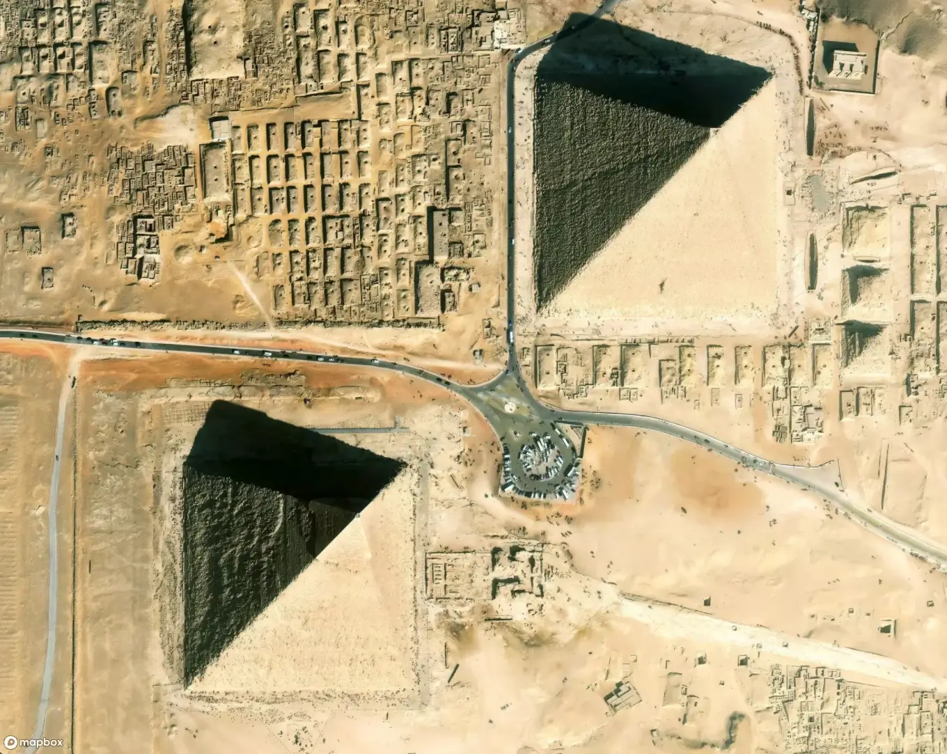
Vivid data now improves the collection recency of nearly all imagery above z8+ to within the last 2 years on average. The impact of recent human development and climate change on water bodies and the landscape are now visible, with improved color contrast and fidelity.


Landsat has a maximum spatial resolution of 30m, with detail blowing out in some areas when viewed at z12. The new Vivid data offers much greater resolution at 50cm and retains detail when downsampled down to z12 display.


