In our recent webinar ‘Mapbox Geocoding for Asset Tracking’, Search product manager Robert Florance and head of developer resources Chris Whong outlined how to use Mapbox reverse geocoding capabilities in asset-tracking use cases.
From how the Geocoding API works under the hood to a live demo of geocoding in action, this session explored how Mapbox Search equips developers and asset managers with right-fit geocoding services. Read on for the key takeaways. Watch the full recording for all the details.
Using Mapbox reverse geocoding for asset tracking
Robert Florance began by sharing how reverse geocoding supports asset tracking across industries by transforming raw location data into meaningful, human-readable information.
Try out the Geocoding playground here.
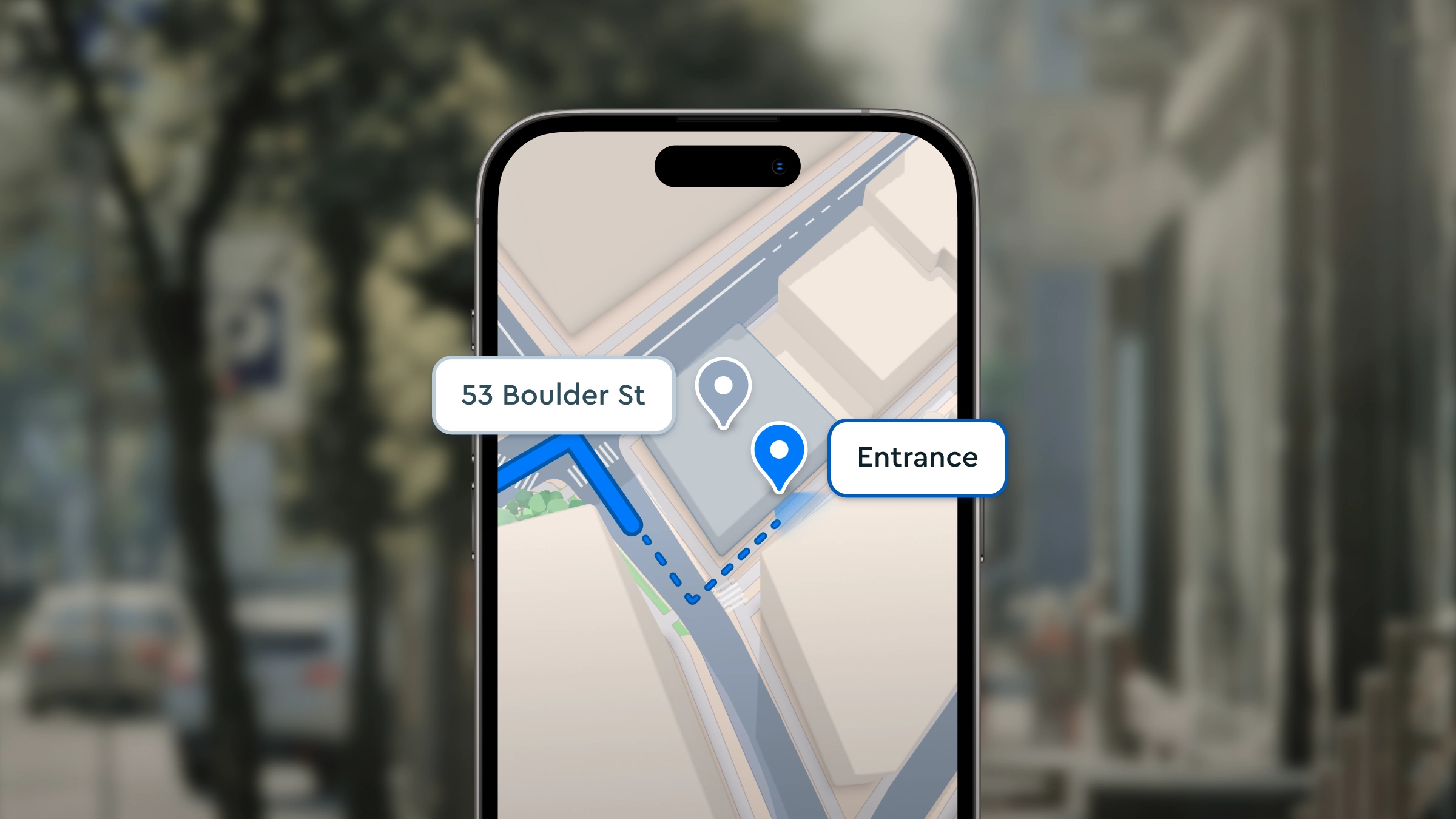
Florance explained that while forward geocoding converts addresses into coordinates, reverse geocoding takes streamed lat/long data, such as from fleet vehicles or IoT devices, and converts it into addresses, zip codes, or place names. This allows asset managers to monitor real-time movements and conduct historical analysis without relying on raw coordinates.
The most common use case discussed was live and historical fleet tracking. With each ping from a device, reverse geocoding can assign contextual information, like a house number or city, making it easier to understand where key events happened. This is especially useful when pinpointing dwell times, route endpoints, or locations associated with delays or deviations.
Reverse geocoding also plays a key role in incident reporting. When an issue occurs, it can autopopulate the location in a support ticket, reducing response time. For longer-term reporting needs, Mapbox offers a permanent reverse geocoding feature that allows indefinite caching of location results — helpful for audits and end-of-year reports.
Additional use cases included geofencing and dynamic notifications, behavior and safety monitoring, and route compliance. Fleet dashboards often integrate forward geocoding to help users create geofences quickly by searching for a location. And when precision matters, like identifying a harsh braking incident near a school zone, Mapbox high-accuracy geocoding gives needed context.

Batch geocoding was highlighted as an efficient option for customers who want to process historical location data in bulk. By sending up to 1,000 queries in one API request, teams can reduce overhead and improve performance without sacrificing accuracy.
Precision geocoding drives smarter asset tracking

Mapbox offers flexibility to choose the level of reverse geocoding precision that best fits a given use case, from high-resolution rooftop accuracy or broader regional context. In some scenarios, such as last-mile logistics or field service, having an exact house number or street-level result is essential. In others, like high-level routing or performance analytics across a large territory, a more abstract result (such as a postal code, district, or region) may be most practical.
Mapbox supports this flexibility with a deeply layered approach to geocoding. The Geocoding API returns multiple levels of granularity for every set of coordinates, so users can select the most relevant result depending on their needs. At the highest level of precision, Mapbox delivers rooftop-level address results, ensuring developers and businesses have the reliable location detail needed to power smarter decisions.
Permanent geocoding vs. temporary geocoding
Permanent geocoding was a key feature highlighted during the session. The permanent geocoding endpoint of the Mapbox Geocoding API allows for the storage and reuse of the results of a geocoding request. This is ideal for applications that rely on historical data, reporting, or machine learning models such as audit logs, performance analysis, or route optimization over time. Including the `permanent=true` parameter in a request to the Mapbox Geocoding API, the returned results can be saved, shared, and used again without needing to make another API call. This option provides long-term value by supporting persistent storage and data reuse, particularly for business-critical systems that depend on accurate and traceable location information.
Temporary geocoding was also discussed as an alternative, less expensive option. Temporary geocodes are intended for on-demand use cases. Temporary results may be cached only for a short duration and cannot be stored indefinitely, marking them best suited for interactive applications like dynamic maps or dashboards where a user searches for a location during their app session, but where there is no need to retain that data.
Considerations when selecting a geocoding provider
When evaluating geocoding providers, the presenters encouraged attendees to consider key factors: data accuracy and coverage, reliability at high request volumes, flexible licensing, and ease of integration. Mapbox processes billions of requests daily and supports high-volume customers with fast, scalable infrastructure that delivers consistently precise results.
The developer experience and ease of use is another consideration. The Mapbox geocoding API is simple to integrate and includes complete context in a single request. Feedback from geocoding customers cited strong documentation, developer-friendly tools, and cost-effective volume pricing as top reasons for selecting Mapbox as their preferred geocoding provider.
Live demo: Reverse geocoding in action
In the second half of the webinar, Mapboxer Chris Whong led a live demo showing how to get started with the Geocoding API. He walked through the Mapbox documentation, highlighting where to find the complete reference for forward and reverse geocoding, as well as guidance on query parameters and supported geographic feature types.

Chris emphasized that the API is simple to use, requiring only a single call to return all relevant location data, making it fast to integrate into dashboards or analytics tools.
Whether you’re tracking delivery vehicles, scooters, or something else, precision geocoding is a must-have. Missed the live event? You can watch the full session here.


Related articles

Introducing the Mapbox Places API

Mapbox Geocoding adds 45 new countries and 73.2 million addresses