Featured speakers
Featured host

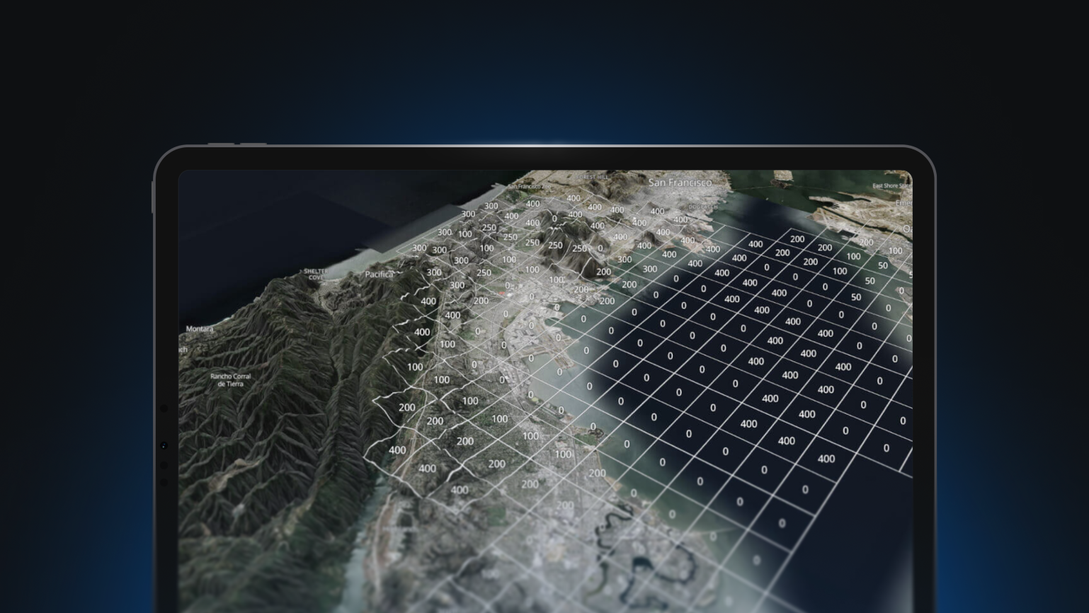
A picture may be worth a thousand words, but with context and location data, it’s priceless. Satellite and aerial imagery is a composite, high-resolution image of the entire world. From disaster preparedness to renewable energy, urban planning to business intelligence, and 3D games to advanced machine learning–driven analytics—it can help you make better decisions more quickly.


Solve big business challenges with satellite imagery

A picture may be worth a thousand words, but with context and location data, it’s priceless. Satellite and aerial imagery is a composite, high-resolution image of the entire world. From disaster preparedness to renewable energy, urban planning to business intelligence, and 3D games to advanced machine learning–driven analytics—it can help you make better decisions more quickly.