Featured speakers


Featured host

Register for webinar
Thank you for registering
.png)
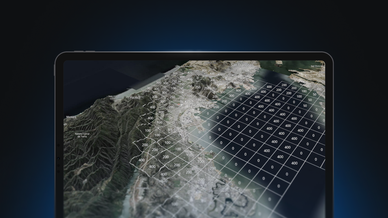
The first installment of our Mapbox Data roundup series focused on leveraging Mapbox Boundaries. Discover the endless possibilities and applications of this industry-leading geospatial dataset as well as how to elevate your location-based services, data visualization, and spatial analysis to new heights.
Learn how to:
- Create a map outlining any global zip code or country using Mapbox Studio
- Create an interactive choropleth world map by joining tabular to a Mapbox Boundaries tileset using Mapbox GL JS
*Please note that Mapbox Boundaries is a licensed product and not available without a sales contract. Exact coverage varies by country and we encourage you to explore the Mapbox Boundaries country explorer to see all of the data available to you.


Mastering Mapbox Boundaries

The first installment of our Mapbox Data roundup series focused on leveraging Mapbox Boundaries. Discover the endless possibilities and applications of this industry-leading geospatial dataset as well as how to elevate your location-based services, data visualization, and spatial analysis to new heights.
Learn how to:
- Create a map outlining any global zip code or country using Mapbox Studio
- Create an interactive choropleth world map by joining tabular to a Mapbox Boundaries tileset using Mapbox GL JS
*Please note that Mapbox Boundaries is a licensed product and not available without a sales contract. Exact coverage varies by country and we encourage you to explore the Mapbox Boundaries country explorer to see all of the data available to you.