From Mapnik to MBTiles: The history of vector tiles in three maps, with David Heyman from Axis Maps

Featured speakers


Featured host
Register for webinar
Thank you for registering

Overview
David Heyman makes maps about time. Not about time itself, but about artifacts, and the time-based stories that are tied to city space: buildings and architecture, landscapes and surveys, photographs and plans. He designs interactive map applications that serve data from the spatial humanities to learners and explorers.
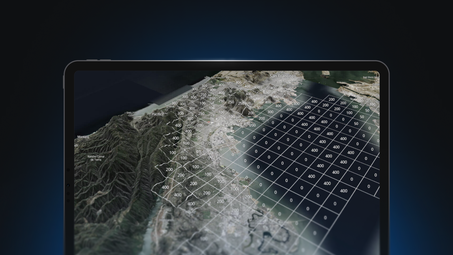
In this talk, David will discuss pilotPlan and other projects about Brazilian architecture that he built in partnership with researchers at the Humanities Research Center at Rice University, describing how his application architecture for interactive map applications has evolved with time and emerging technologies – from Mapnik to MBTiles.
You’ll learn...
- How to use vector tiles as a database AND a display engine
- How to use generate your map legends from your style
- How to create maps with “expressive cartography” (a sense of place and purpose)
About pilotPlan
pilotPlan is a searchable digital atlas that illustrates the urban and architectural evolution of Brazil’s carefully planned capital city of Brasilia – as it was imagined, as it exists, and as it might become. Founded in 1960, the city has emerged during the age of earth observation satellites and it has been observed from space, both visually and spectrally, ever since its construction. To tell the story of the design, development, and construction of this city “built from scratch,” pilotPlan serves primary sources such as views, maps, architectural plans, and hyperspectral imagery, in a map-based web environment that users can explore.


From Mapnik to MBTiles: The history of vector tiles in three maps, with David Heyman from Axis Maps
Overview
David Heyman makes maps about time. Not about time itself, but about artifacts, and the time-based stories that are tied to city space: buildings and architecture, landscapes and surveys, photographs and plans. He designs interactive map applications that serve data from the spatial humanities to learners and explorers.
In this talk, David will discuss pilotPlan and other projects about Brazilian architecture that he built in partnership with researchers at the Humanities Research Center at Rice University, describing how his application architecture for interactive map applications has evolved with time and emerging technologies – from Mapnik to MBTiles.
You’ll learn...
- How to use vector tiles as a database AND a display engine
- How to use generate your map legends from your style
- How to create maps with “expressive cartography” (a sense of place and purpose)
About pilotPlan
pilotPlan is a searchable digital atlas that illustrates the urban and architectural evolution of Brazil’s carefully planned capital city of Brasilia – as it was imagined, as it exists, and as it might become. Founded in 1960, the city has emerged during the age of earth observation satellites and it has been observed from space, both visually and spectrally, ever since its construction. To tell the story of the design, development, and construction of this city “built from scratch,” pilotPlan serves primary sources such as views, maps, architectural plans, and hyperspectral imagery, in a map-based web environment that users can explore.