No items found.
Featured speakers
No items found.
Featured host
No items found.

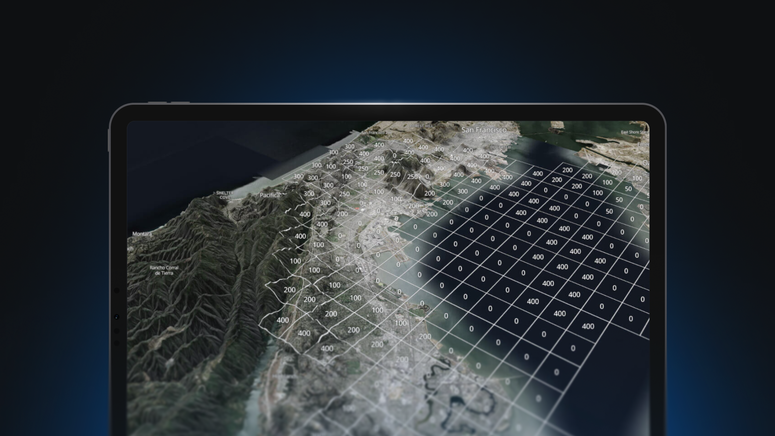
In this webinar, Allan Walker, Engineer, Mapbox, will run through the process of adding color values from orthoimagery raster data to LIDAR Point Clouds and visualize that data using Mapbox GL JS and Deck.gl. We’ll have some fun using a very familiar Florida landmark as an example.

Webinar
Build your own 3D map with LIDAR point clouds

Featured Speakers
No items found.
Host
No items found.
In this webinar, Allan Walker, Engineer, Mapbox, will run through the process of adding color values from orthoimagery raster data to LIDAR Point Clouds and visualize that data using Mapbox GL JS and Deck.gl. We’ll have some fun using a very familiar Florida landmark as an example.