Updated Aerial Imagery in the US

USDA NAIP open data covers 48 states
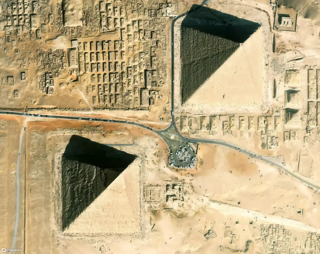
In addition to our global imagery update, we also created a new, dedicated tileset for open US aerial imagery. The imagery is from the United States Department of Agriculture’s National Agriculture Imagery Program (NAIP). This separate layer is a complement to our 7.5 cm aerial and 50 cm satellite imagery, and is especially beneficial for our outdoors, agriculture, and recreation users, updating pixels in even the most remote areas. This aerial imagery was collected in 2018–2019 over the contiguous United States and is available via the `mapbox.naip` tileset.

Color balancing and blending
Since NAIP data is collected state-by-state, each collection comes with its own color motif influenced by the season it was collected, time of day, and other things like haze or smoke.
We assessed the color of every state’s data in both urban and rural areas and adjusted the contrast, saturation, and brightness of images to make them more consistent and appealing for a basemap. Our “color formulas” handle regions with the most seasonal variation, as many areas are collected across multiple seasons, resulting in vegetation and ground cover differences.

This latest NAIP imagery is collected at 60 cm resolution, an improvement on the 1 m imagery the program traditionally collected. Each state is collected once every 2 to 3 years, and 2019 data was recently made available via the NAIP on AWS open data portal. Its accessibility via AWS lets us revisit the imagery regularly, with plans to refresh the data in the second and fourth quarter of the year moving forward.
NAIP has long been one of our favorite datasets to work with. We’re thrilled the NAIP program is continuing to provide exceptional, open imagery after its existence was threatened a couple years ago. The program provides a predictable, high-quality collection of imagery that gives a solid foundation to our maps.
Fitness apps now have more recent imagery to chart user’s runs, and our agricultural customers can rest assured imagery is updated on a set schedule. Check out some of our favorite NAIP images below, and get started working with NAIP today by trying it out in Mapbox Studio.
Change over time: Current NAIP data (left) shows the creation of Rocky Pen Run Reservoir near Fredericksburg, VA


