Top Trends in Satellite Imagery

Satellite data offers insights into today's biggest global issues. The industry is rapidly evolving and Mapbox is consistently working to track that evolution and ensure our platform keeps pace. Bill Morris - Geospatial Software Engineer at Mapbox - is one of the people at Mapbox working on that effort. From attending SatSummit to keeping on top of the buzz among leaders in the satellite industry and experts in global development, Bill learned a lot in 2022. So we wanted to highlight the trends he’s identified to look out for in the dynamic world of satellite imagery and what “pixel people” are most excited about this year.
Data Availability
The predominant change in satellite imagery can be summed up in three words: So. Much. Data. In the past few years, hundreds of civilian imaging satellites have been launched. These instruments range in size from a loaf of bread to a school bus, and they collectively produce petabytes of imagery every hour.
The scale of available data is incredible to comprehend. In fact, a recent industry axiom suggests that the entire population of New York City - doing nothing else - would not be large enough to analyze all the imagery that is being collected every day by spaceborne sensors.
Improved Resolution
Emerging satellite providers are targeting increased resolution for their upcoming constellations, with companies like Albedo and EOI Space targeting 10 cm resolution. Existing providers Maxar, Airbus, Planet, and Blacksky are all planning satellites with native resolutions up to 25 cm and the ability to create HD imagery of 15 cm or better. These improvements will enable satellite operators to compete with aerial-based systems in North America, Europe, and Australia, and improve the highest available resolution in areas where airplanes don’t regularly operate.

Machine Learning
A facet of artificial intelligence, machine learning is when computer systems are able to learn and adapt without following explicit instructions, instead using algorithms and statistical models to analyze and draw inferences from patterns in data. Automated interpretation has become much more powerful in the past few years.
SatSummit 2022 had some very informative sessions on these latest developments, including:
- New orchestration tools
- High-powered algorithms
- Novel ways to approach data structuring
These powerful advancements can be applied to several solutions. Post-disaster assessment models can now assign relative damage scores to buildings, and harvest yields can be predicted for individual fields or whole continents (see what OneSoil is doing).
State-of-the-art automated interpretation also seems to have moved on from using OpenStreetMap (OSM) data for classification model training. Experts are generally in agreement that OSM data can serve as an excellent filtering tool, but that the actual training data delineation is too situationally-dependent to rely on the precision of individual OSM contributors. However, new sources of open training data have gained prominence.
Conflict and Crisis
Advances in Earth Observation technology are applicable in a broad swath of global flashpoints, including the conflict in Ukraine. Some applications include:
The European Space Agency’s Sentinel 1 satellite used Synthetic Aperture Radar (SAR) data and hyperspectral sensors to obtain a rapidly-acquired view of the potential sabotage of the Nordstream2 pipeline.
Exponentially increasing temporal resolution means that some locations can be viewed multiple times per hour, allowing satellites to track the movements of individual cars and boats. This was previously the realm of military capabilities, but it’s now becoming accessible for civilians.
The US State Department used a feature detection model to assess damage to Ukraine’s grain storage infrastructure. The assessment concluded that approximately 14.57% of Ukraine’s estimated 58 million metric tonnes of crop storage capacity has been impacted by conflict since Russia’s full-scale invasion of Ukraine in February 2022.

Cloud-Native Architecture
Another seismic shift in satellite imagery is the adoption of cloud-native standards and formats that were in their infancy just a few years ago. Cloud-optimized GeoTIFFs (COGs) and Spatiotemporal Asset Catalogs (STACs) have become the go-to architecture for organizing, storing, and sharing remotely sensed data. New protocols like Zarr offer the benefits of cloud-native architecture to unsupported formats and advances like GeoParquet show promise in allowing vector data to be streamed in a similar way.
Raster teams are now looking at some of these tools - like pgSTAC and TiTiler - to expand the capabilities of existing data catalogs. In a display of how quickly passionate people can advance technology, former Mapboxer Vincent Sarago wrote a rasterio plugin for one of the new formats in a matter of days.
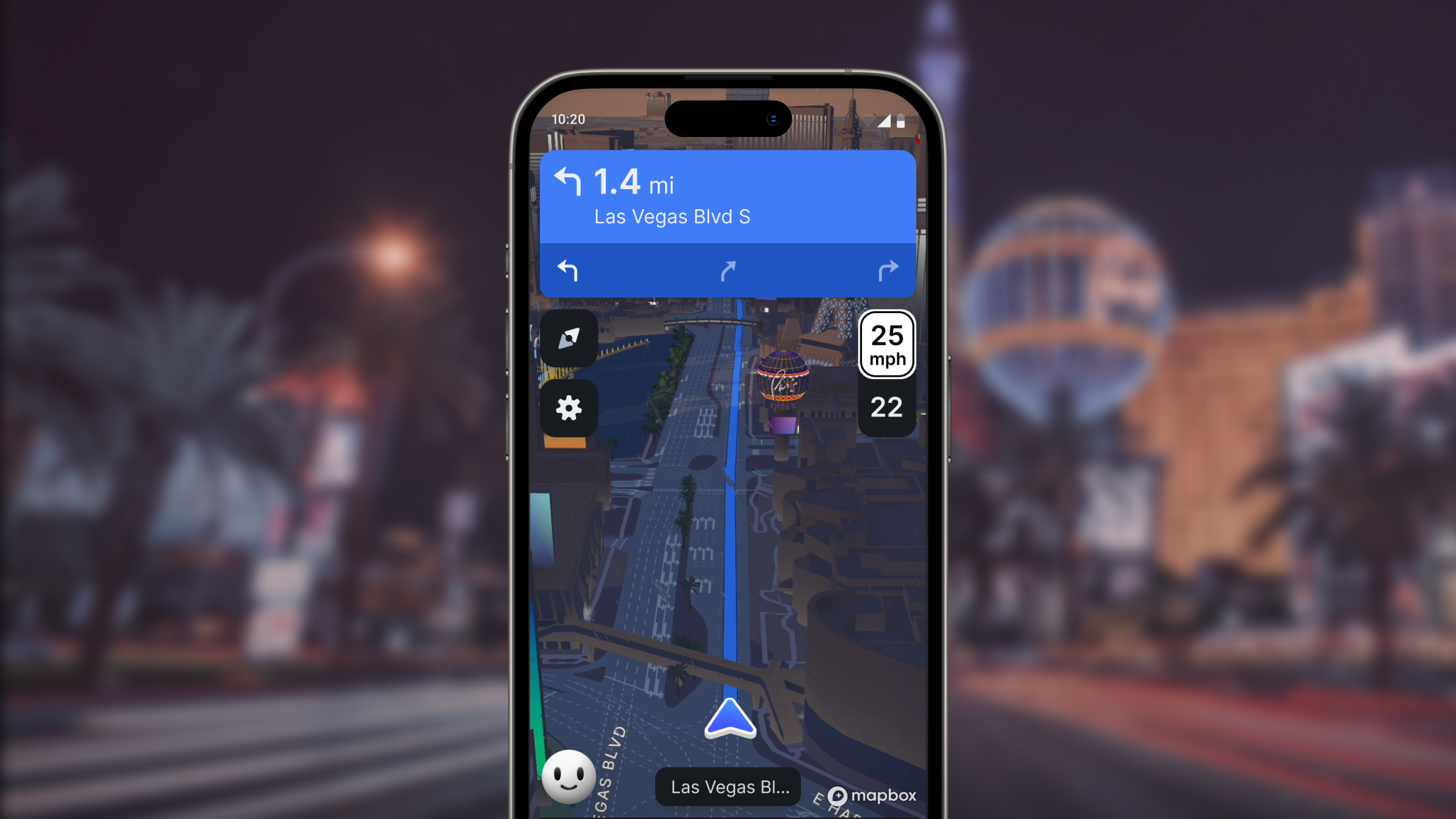
Simulations and the Third-Dimension
Alistair Miller, leader of Imagery Products and Partnerships at Mapbox, joined a panel on 3D and digital twin technology at SatSummit 2022. He and the other panelists were pragmatic about the current applications of multidimensional data. They discussed use-cases such as flythrough animations of interiors and historic sites, as well as playful view augmentation and the cinematic potential of moving cameras over 3D landscapes.
Data extraction and creation has also made some big leaps recently. The above-mentioned file format advances are applicable here as well. Zarr, TileDB, and GeoParquet — with their focus on handling n-dimensional arrays — all seem particularly well-suited to point cloud optimization. And while the panelists considered the future of 3D data and applications, a discussion with the audience surfaced the perspective that some industrial sectors are already fairly advanced in their use of VR/digital twin technology.

These are just a few of the trends we see being impactful in 2023. What do you think?
If you’re interested in investigating the capabilities of the Mapbox platform further, check out our satellite imagery page or sign up for an account to start exploring.


Related articles

Tour Osaka in 3D with Mapbox Standard

One Attribute to Rule Them All