High-resolution cellular network data for on-edge routing in poor coverage areas

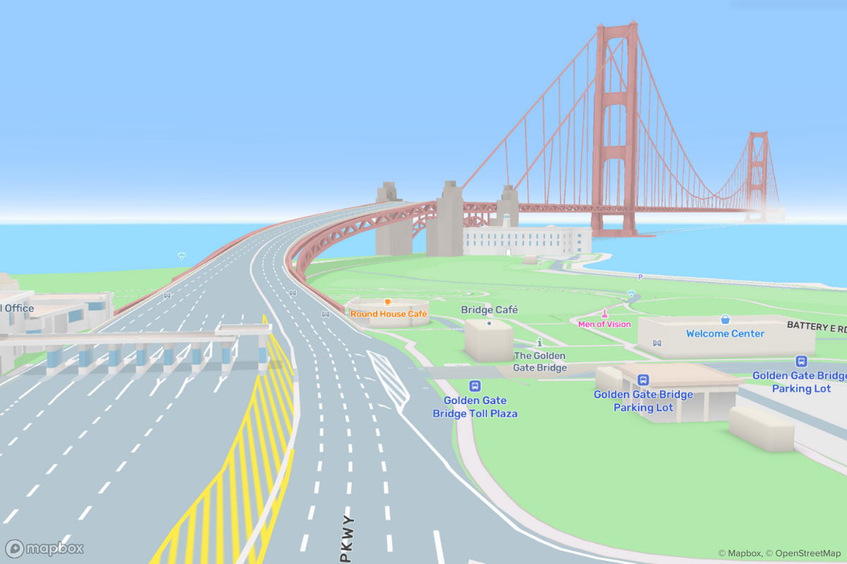
Navigation SDK's predictive caching looks along a route—whether it is a simple a-to-b route or an entire day’s delivery manifest of 150+ stops—and pre-caches the relevant data. The predictive caching will automatically pre-cache map data around cellular dead zones along the route corridor so all the maps and routing works on the edge, regardless of cellular signal. Data from the cache is used for all operations that run on-device including map display, map matching, electronic horizon, and route generation.
Ookla's high-resolution cellular network data from Speedtest Intelligence makes our predictive offline cache in Navigation SDK even more accurate, allowing delivery drivers complete entire shifts inside cellular dead zones, giving athletes the ability to take their maps offline for trail runs, and helping travelers safely navigate through spotty areas with full-featured maps and turn-by-turn navigation. This data provides detailed information about where cellular networks are weak or non-existent thanks to Ookla's hundreds of millions of daily network performance and quality measurements via the Speedtest platform and processing with MTS. The Navigation SDK uses this information to automatically download routing data for regions with low/no service, so drivers can reach their destination even if they miss a turn or pull off for gas. Cellular coverage data is also used to influence routing decisions by ranking multiple alternative routes and selecting the best one based on the quality of coverage.

Ookla data shows that urban areas are well-covered by LTE service, but routes through some rural areas have limited coverage or none at all, making it difficult for drivers to use navigation in these regions. Most of Enumclaw, WA has mobile service (pink), but the lone highway heading east to the Crystal Mountain ski resort has large gaps in coverage (teal). Before departing for a weekend trip to Crystal Mountain, the Navigation SDK and Ookla's coverage data work together to pre-cache all the necessary maps and navigation data needed to guide drivers through the dead zones:
Developers outdoor apps can provide details about the on-trail connectivity on nearby Tiger Mountain, helping consumers understand if they'll still be connected, an important personal safety consideration:
Using cellular coverage information to determine what data to pre-cache will save bandwidth and on-device storage because Navigation SDK can prioritize areas with limited cellular coverage and skip over areas where coverage is reliable.
How it will work
Step 1: Apps like Straightaway, which fixes large scale delivery for drivers by turning the paper manifests into super efficient delivery plans that save over an hour a day, install Navigation SDK with Ookla integrated. Straightaway uses Mapbox Navigation AI optimization and takes into account traffic conditions and construction, which continuously get updated throughout the day. Navigation SDK evaluates the route plan based on Speedtest data to see if there are cellular network dead zones along the trip.

Step 2: First launched in 2006, Speedtest users have actively run over 35 billion full bandwidth tests and contributed hundreds of billions of network coverage scans. This means that Ookla has the most comprehensive analytics on worldwide internet performance and accessibility. Ookla transforms these data into vital network insights SaaS tools and APIs including their flagship Speedtest Intelligence platform. Ookla provides Mapbox with connectivity awareness from these same solutions - specifying geographic bounds of all areas that will have bad connectivity and telling the Navigation SDK where to pre-cache data or reroute directions.

Step 3: Mapbox and Ookla worked together to geo-aggregate the results with MTS. The aggregated data is fed into the Navigation SDKs predictive caching model. When a driver routes through a region with poor connectivity, the predictive cache is populated with data for the region, so users continue to see maps and access turn-by-turn navigation.
The integration will constantly improve by feeding network data back into the predictive caching model so the more users drive the smarter the caching gets. Drivers will also be able report dead zones in the Navigation SDK with a few taps just like they can report traffic, accidents, or other map improvements.
Developers can learn more about the Navigation SDK and start leveraging the predictive cache functionality today, then start benefiting from these network-aware improvements as they begin to roll out.


Related articles

令和に生まれた自動車メーカーが完全自動運転EVの量産を目指して| 導入事例 - Turing株式会社
Never miss a turn again with Mapbox 3D Lanes
%20(1).png)