Coast to coast, updated 50 cm satellite imagery for the US
Heading
Lorem ipsum dolor sit amet, consectetur adipiscing elit, sed do eiusmod tempor incididunt ut labore et dolore magna aliqua.

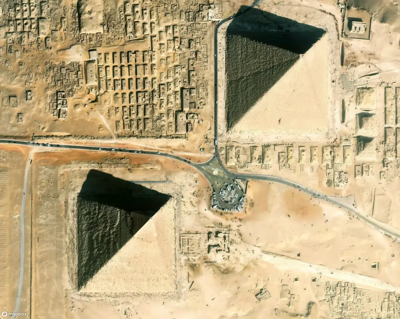
We just completed the refresh of 135 million km² of satellite imagery, including fresh 9.8M km² of 50 cm imagery across the United States. Combined with 3D maps and the new GL JS v2, the Grand Canyon, Yosemite, the Great Smoky Mountains, or the Badlands can be viewed in stunning, high resolution detail. Mountain bikers can now document their rides, delivery drivers can confirm their routes in detail, and users can zoom in on neighborhoods through their social media platforms - all using current, gorgeous, and consistent imagery -- coast to coast.

This is the largest imagery addition we’ve ever made, but this is just the start. The team is busy working on extending the value of this imagery through tighter 3D integration to color processing and blending between sources. We’re excited to bring new ways of interacting with imagery and continue to explore how to improve the user’s experience.


Lorem ipsum dolor sit amet, consectetur adipiscing elit, sed do eiusmod tempor incididunt ut labore et dolore magna aliqua.


