3D Maps Showcase: A World of Possibilities

Earlier this month, 3D maps launched with the release of Mapbox GL JS v2.0. The response from the developer community has been incredible - in the first 48 hours after release, 1400 customers were experimenting with GL JS v2. The creativity of these developers utilizing the combination of 3D terrain, sky styling, and the new camera API, showcases how simple it is to build a unique and custom map experience.
Steve Attewell built a stereoscopic 3D map featuring Ordnance Survey data: Check out how he made this map in his blog post. Break out the 3D glasses!
“Being able to change two lines of code to upgrade to v2 and then copy-and-paste a few lines of code to add 3D terrain felt easier than it should have been,” Steve told us. “It really was that simple. I updated various demos and experiments I've built and each took a couple of minutes.”
Sheregesh Today, a travel guide for the Sheregesh ski resort in Russia, created this beautiful 3D map of the resort: The contour lines and 3D terrain allow skiers to see the steepness and direction of runs while giving a realistic view of the resort’s layout. The team used the new camera API to create virtual tours of each ski slope. Ivan Rigovsky, a developer on the project, notes that “integrating v2 was very easy. I spent about an hour in the morning and just updated the version and added the 3D layer from your examples.”

Devseed launched a new app, Mapbox GL DIrector: Users can make custom animations and export the code for easy integration into their application. Devseed’s engineers emphasized that “all the new APIs were intuitive to work with and it was easy to implement the new 3D terrain, sky and camera features”.

Keir Clarke has given vintage maps new life by draping them over 3D terrain: To create your own vintage maps, check out their blog post.
Sam Parsons used 3D terrain to bring his infographic map of Lake Titicaca to life with new depth and realism.
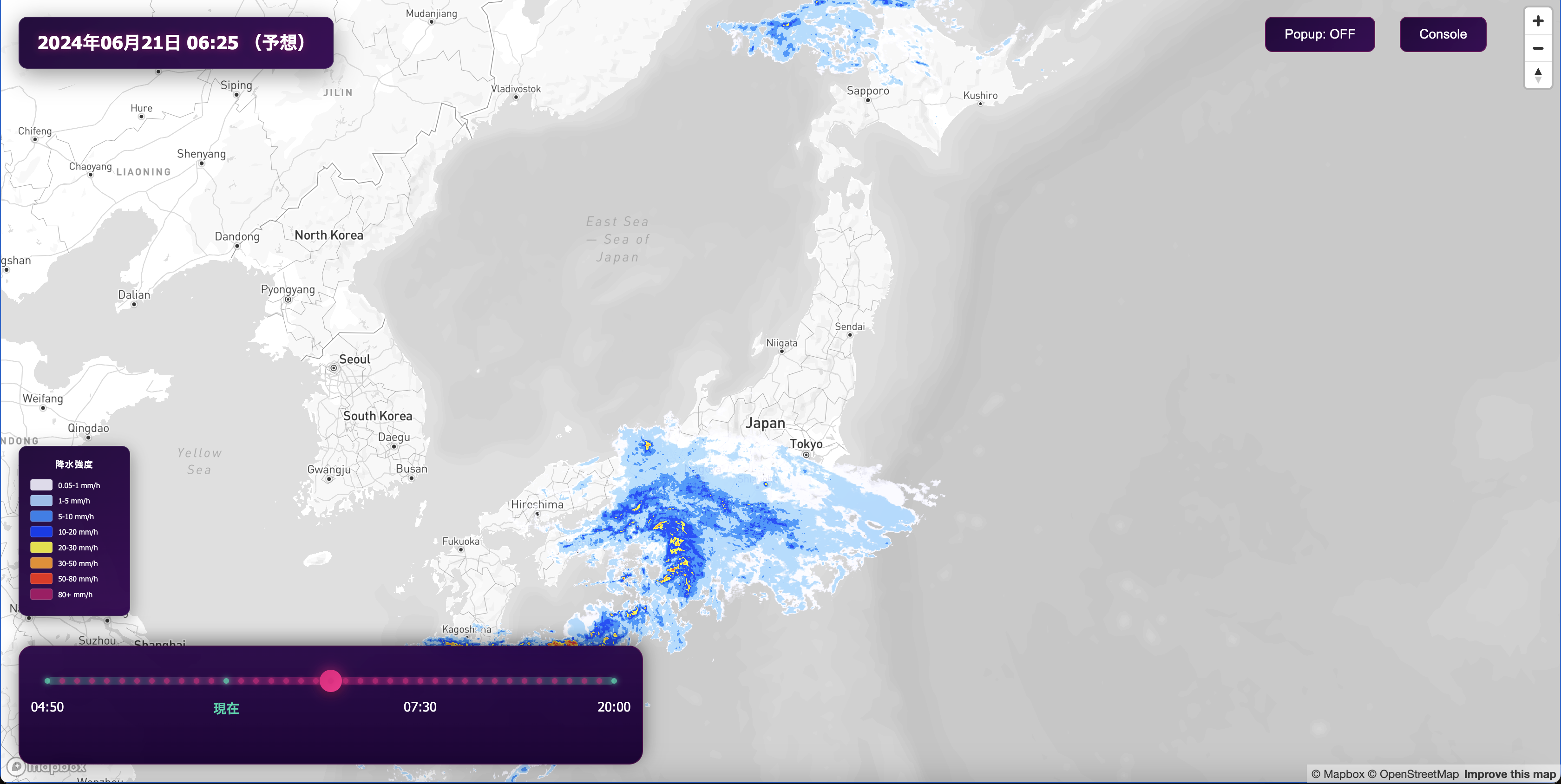
MiniTokyo3D is a real-time visualization of Tokyo’s public transportation system. They shared a sneak peek that uses the new 3D camera to show an animated, ground-level view of the transit route.
Benjamin Tran Dinh developed this incredible simulation of a flight over New Caledonia. The new 3D camera API allows for smooth animations over 3D terrain that adds realism and depth to a scene.
We’ve been amazed at how quickly users have adopted GL JS v2 to create beautiful maps that build a new mapping experience for every use case. Get started on a 3D map of your own with the Mapbox Interactive Storytelling repository or use one of the v2 examples as a starting point. Share your 3D maps with us on Twitter with #BuiltWithMapbox.


