Life at Mapbox
Our team is changing the way people move, understand, and experience the world. If you are a builder at heart, join us!
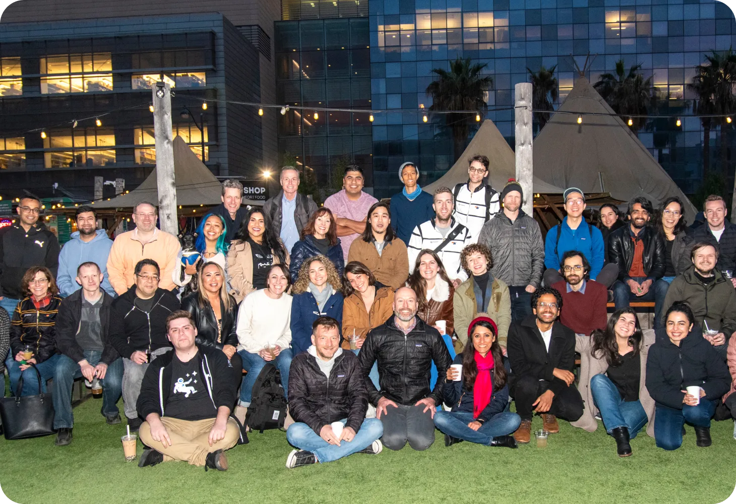
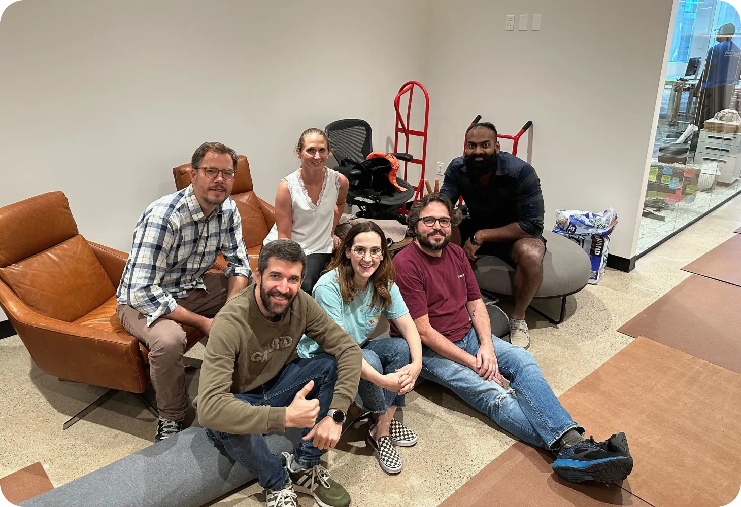
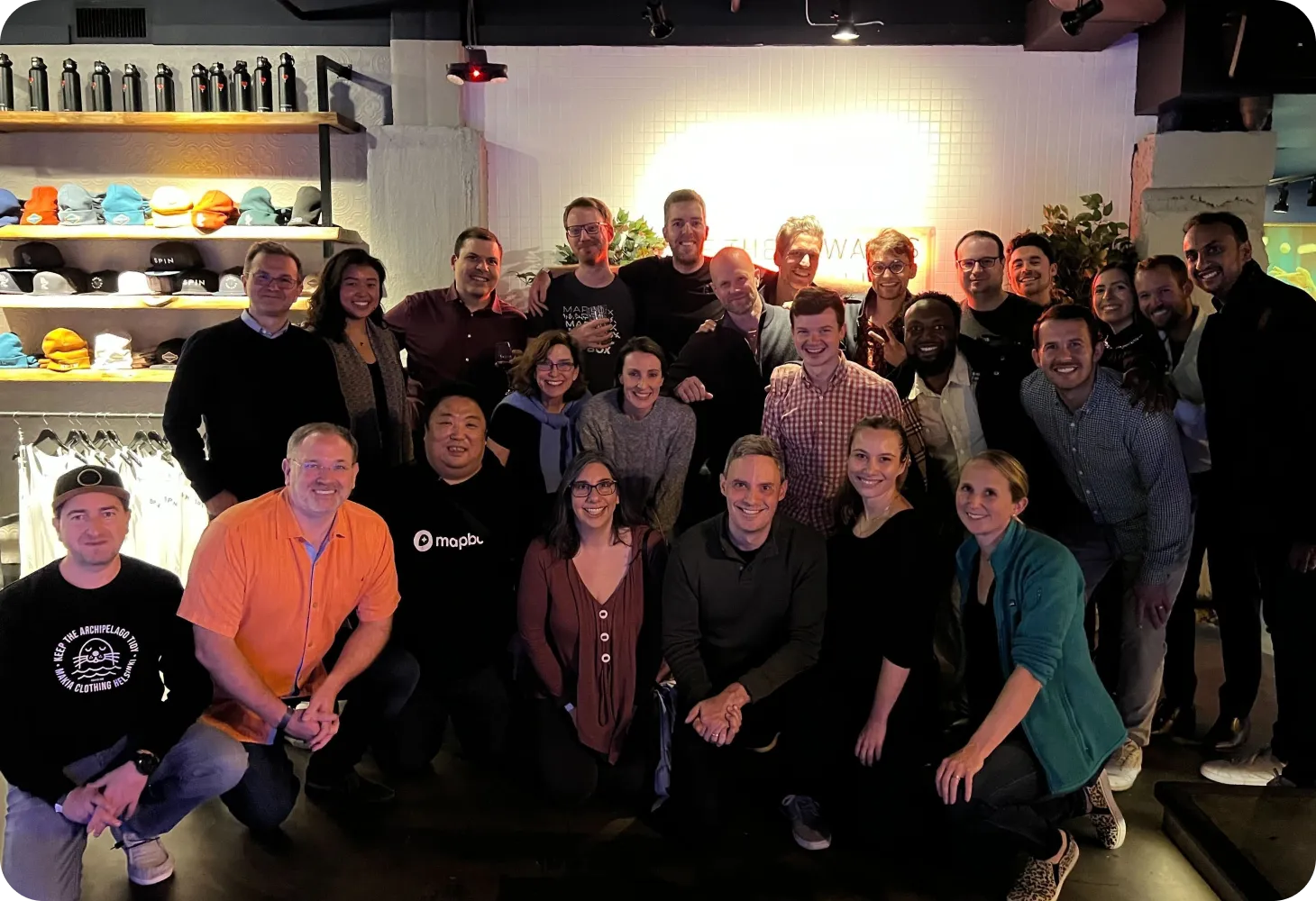
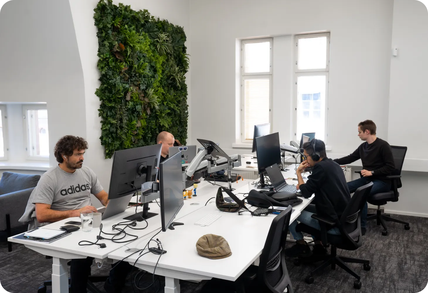
Build Mapbox products together
We foster a workplace culture where all employees feel empowered to innovate. Mapbox embraces work flexibility, invests in learning and development programs for employees at all stages of their careers, and supports physical and mental health for everyone.
.webp)
Our Awards
We are proud to build worldwide products and to be known as a great place to work!

.svg)
.svg)

.webp)
A Mapbox for Everyone
Our team comes from a wide range of cultural, ethnic, social, and economic backgrounds. We prioritize the progression, growth, and strongly believe in the value of cultivating a diverse team.
Learn about Diversity and Inclusion →
Mapbox perks and benefits
A sustainable company is built by happy and healthy individuals, so we invest in comprehensive well-being support for our team.
Perks and benefits will vary by the country in which you work.
Compensation
We offer competitive compensation, retirement programs, and equity to enable Mapboxers to share in our success.
Benefits
We provide Mapboxers with comprehensive healthcare and mental health benefits, as well as life insurance and income protection in the event you are unable to work long-term.
Remote-first work
In most roles, you’re free to live and work wherever you feel most productive. At home, our global offices, or even a national park with good wifi.
Time away
We believe rest and relaxation are essential to creativity and focus, and so we offer generous paid time off, company-wide breaks, and more.
Family foundations
We offer paid maternity, paternity, adoption, and family care leave.
Social impact
We help our people make a difference by providing over 30 hours of paid volunteer time every year and an annual donation-matching benefit.
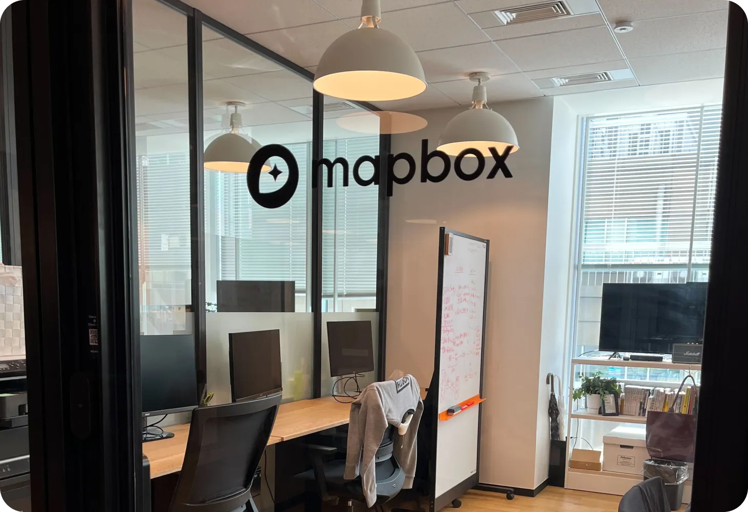
Our Locations
San Francisco
In SF, we facilitate in-person meetings in our shared space for those who crave face-to-face interactions and host local events to foster team cohesion and innovation.
Washington DC
Our DC office is situated in the bustling heart of Washington, D.C., featuring fully-equipped workspaces and collaborative environments. It serves as the hub for coordinating employee events that enrich our community and foster collective success.

Tokyo
Our Japan office is located in the center of Tokyo. The office features open areas and more private booths based on your needs and working space. Local Mapboxers use the office to take meetings, see colleagues, and for the occasional event.


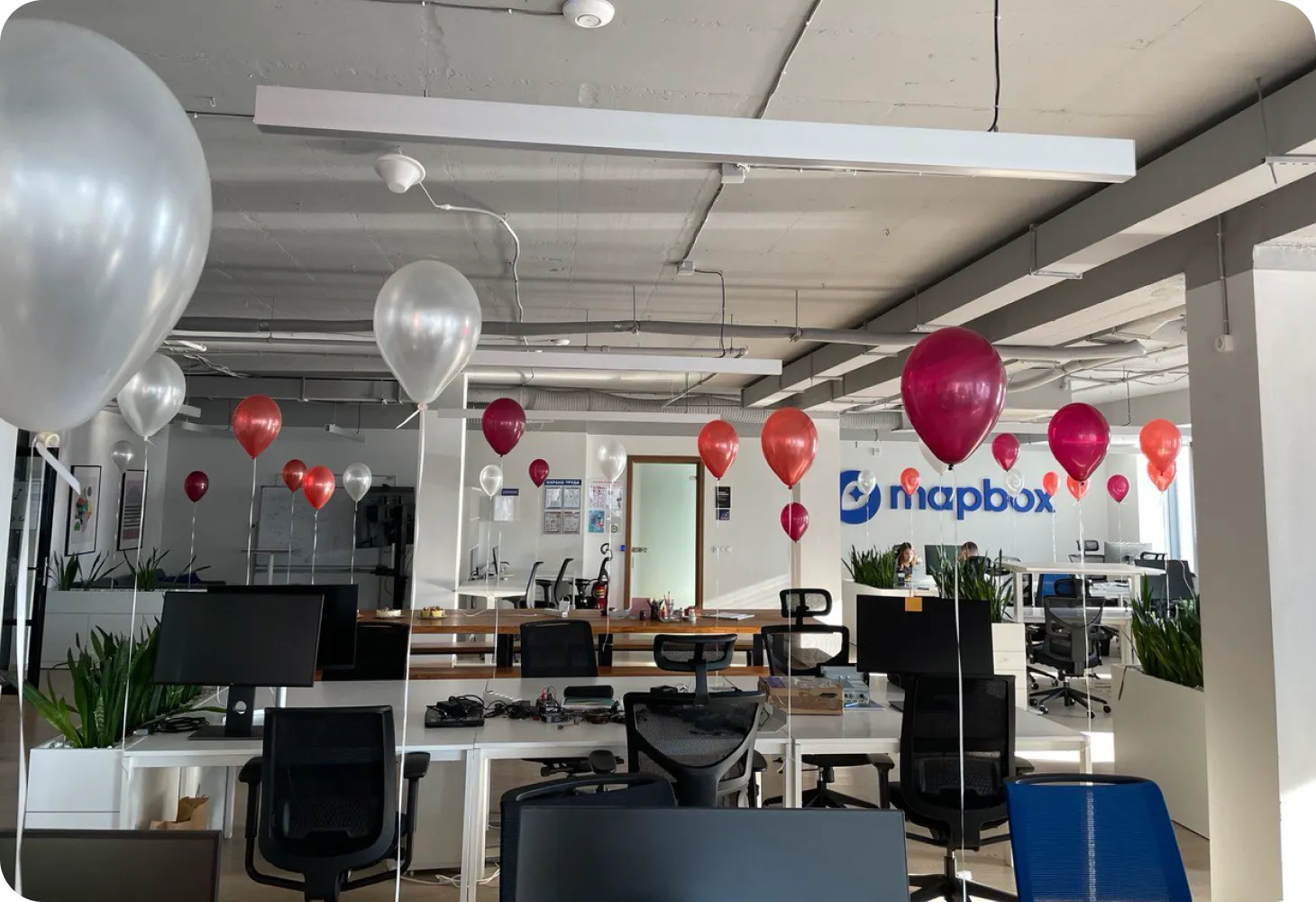
Minsk
Our Minsk office is located in the center of the city in the Business center “Kiroff", right near the Dinamo Stadium. The open-plan office is open 24/7 for those who like working from the office, for team meet-ups, and is also used for various corporate events.


.webp)
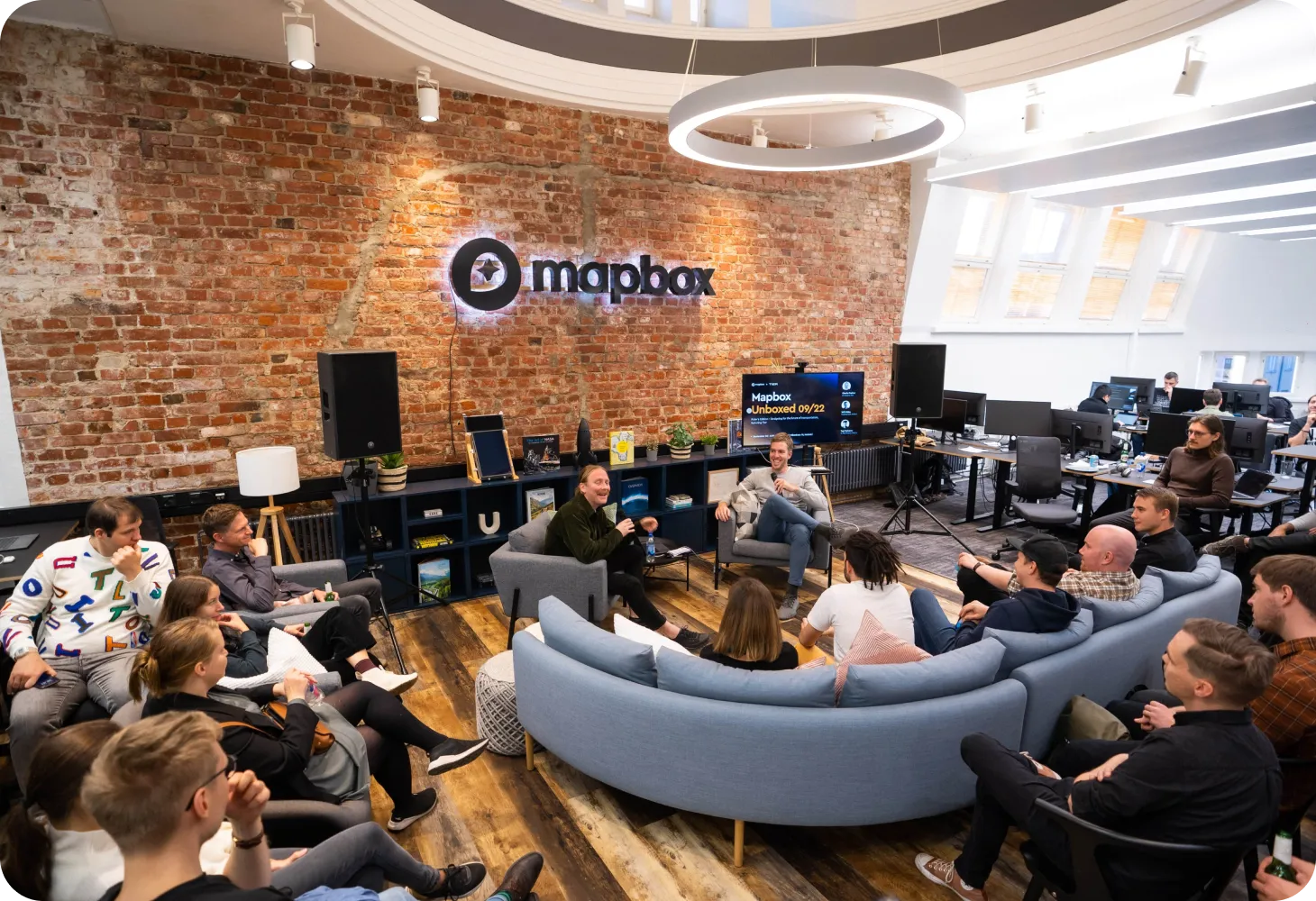
Helsinki
Our Helsinki office is located in the city center, in a soulful historic building built back in 1899. We are right next to the Rautatientori railway station. The space is designed to support easy cross team collaboration, organize meet-ups and get togethers, as well as enable quiet areas for focus work.


United Kingdom
In the UK we have a WeWork office space in London in a large modern building just a short distance from a tube station. The WeWork space is used by teams for sprints, team meetings and gatherings.

Explore our open positions
0 jobs found in all locations in all divisions
.svg)


