

From our early days working on transparency in the 2009 elections in Afghanistan, Mapbox has built tools to help visualize, understand, and tell the story of democracy. In 2020, we’re creating data resources, technical solutions, and tutorials to help all builders make modern election maps, at any scale.
To encourage more builders to explore how mapping tools can support local voter needs and tell underrepresented stories about elections issues, we’re kicking off the Election Mapping Challenge, running through September until the first week of November. Participate in the map contest and join us for a special speaker series with map builders.
Map contest
The Election Mapping contest will have winners in three categories:
- Best untold story: Create a unique visualization of elections-related data. Shed light on local or state-level campaign issues. Build an interactive web map or storytelling map that helps users understand the impacts of local and regional measures.
- Best practical tool: Build a practical website or prototype application to support voter engagement. Address an unmet or local need, for example a web map with information about how to vote safely during the pandemic or a tool that encourages students on your campus to vote.
- Best data mashup: Analyze past elections results alongside other data. Create an interactive visualization or storytelling map to illuminate ways that elections impact our daily lives. For example, how do historical state ballot measures relate to incarceration rates across states?
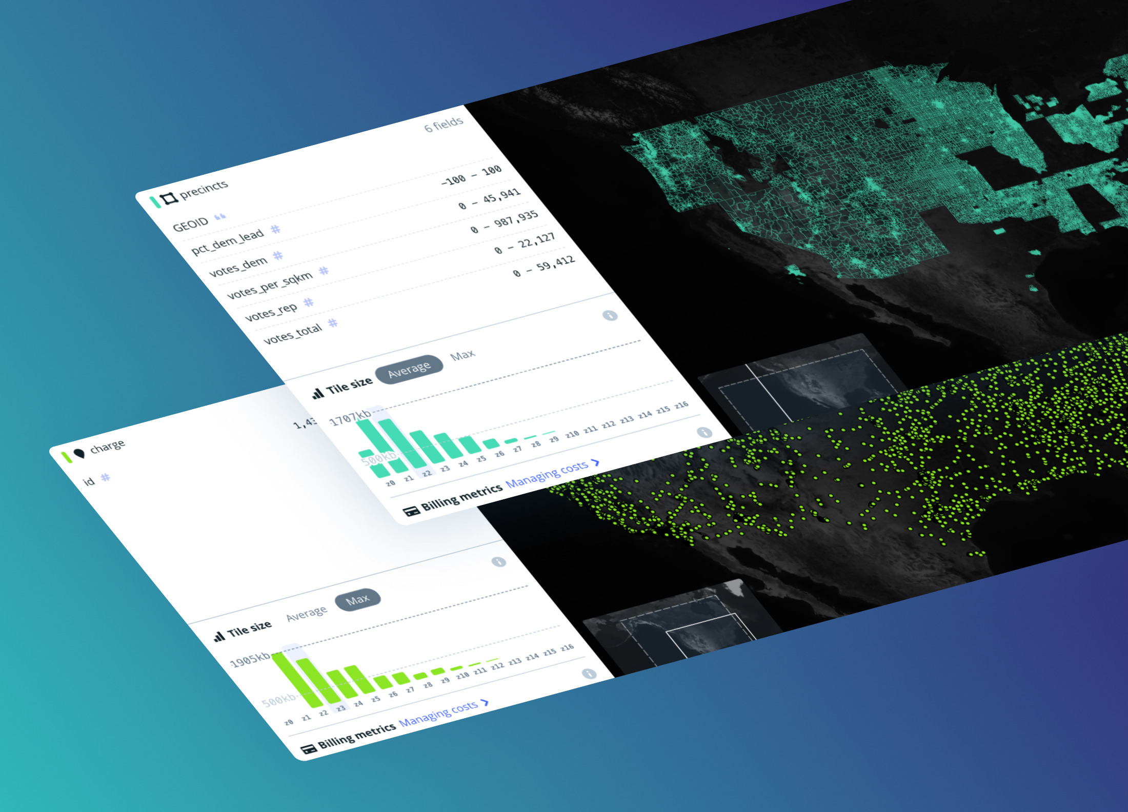
To support builders, we’ve collected open data sources, prepared tilesets with historical elections data and boundaries, and created a US Albers projection template style.

To enter the contest, build a map and write a blog post about it before the deadline of November 8th, 2020. Share project ideas and progress on social media tagged with #electionmapping. Visit the Election Challenge page for more information including contest prizes and rules.
Speaker series
Throughout October the Mapbox ‘Lunchbox’ webinars will focus on election maps, featuring builders from the Princeton Gerrymandering Project, VoteAmerica, data journalists, and more. Learn from their experiences using mapping tools to understand elections data — from frontpage interactives to polling location finders to analyses of gerrymandering. RSVP today!

Upcoming speakers:
- October 1st, 12pm PST — The Princeton Gerrymandering Project: Working to achieve fair voting districts for everyone using data and citizen involvement in the redistricting process. RSVP
- October 8th, 12pm PST — VoteAmerica: Using tech to tackle some of the most pressing challenges facing voters across America in 2020. RSVP
- October 15th, 12pm PST — Data Journalism: Thinking like a data journalist during election season. RSVP
For more resources to inspire and support projects by you — or your students! — check out our new Mapbox Education page.
If you are building a not-for-profit, public good tool to help voters during the 2020 US election, our Community team can support.